
About this walk
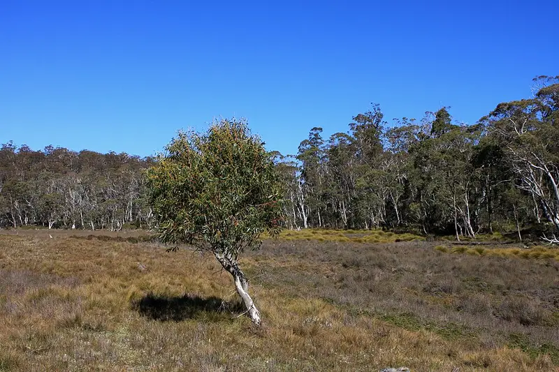
The Lees Paddocks Track follows the upper Mersey River valley from the southern end of Lake Rowallan to Lees Paddocks, on the edge of Cradle Mountain-Lake St Clair National Park. This walk starts at the Lees Paddocks car park on the Mersey Forest Road, heads west up the valley past Lees Paddocks hut, then climbs past Reedy Lake to meet the Arm River Track near Lake Ayr, the last stretch before Pelion Plains on the Overland Track.
This is two tracks: Lees Paddocks (Mersey Road to Lees Paddocks) and the Reedy Lake Track (Lees Paddocks to Arm River). Both are rough bushwalking tracks, mostly unimproved, so do not expect a made path.
Private land
Lees Paddocks itself is private property beside the national park, so respect any signs there. Planned fuel reduction burns are carried out on the property from time to time (Parks announced one for October 2026), and during a burn walkers are asked to keep clear of the burn site and expect smoke for some days afterwards.
Where it leads
The Lees Paddocks track is one of the alternative ways walkers approach Cathedral Mountain, which is otherwise reached mainly from the Overland Track. A separate track runs from the Lees Paddocks area near Vicar Bluff across to Kia Ora on the Overland Track. Along the Reedy Lake section you join the Arm River Track, which continues to New Pelion Hut, where there is water and a toilet. The Mersey itself begins at Lake Meston in the Walls of Jerusalem National Park, east of here, and flows down through Lake Rowallan.
Before you go
Cradle Mountain-Lake St Clair National Park is a fuel stove only area at all times, so campfires are not allowed, and you need a Tasmanian national parks pass to walk in it. Snow can fall in any month in this part of Tasmania, so carry warm and waterproof gear, a map and compass, and tell someone your plans. Ask the Parks and Wildlife Service's Great Western Tiers field office on 03 6701 2104 about current conditions, and check the Parks and Wildlife Service alerts page before you go. If you plan to continue onto the Overland Track, read the Overland Track booking information first.
Elevation
- Climb
- 480 m
- Descent
- 200 m
- Highest
- 919 m
- Lowest
- 525 m
Approximate, from a 30 m terrain model, so it can overstate the climb on cliff edge tracks.
Before you go
Tell your people where you are going
Set your route and return time in FriendsFindMe. If you do not check in, the people you trust are sent a text so they know to come looking for you.
Park and state forest boundaries: CAPAD 2024 © Commonwealth of Australia (DCCEEW), CC BY 4.0; © Forestry Corporation of NSW, CC BY 3.0 AU; © State of Queensland, CC BY 4.0; © State of Victoria (DEECA), CC BY 4.0
Walk data: LIST Transport Segments from theLIST © State of Tasmania, CC BY 3.0 AU