
About this walk
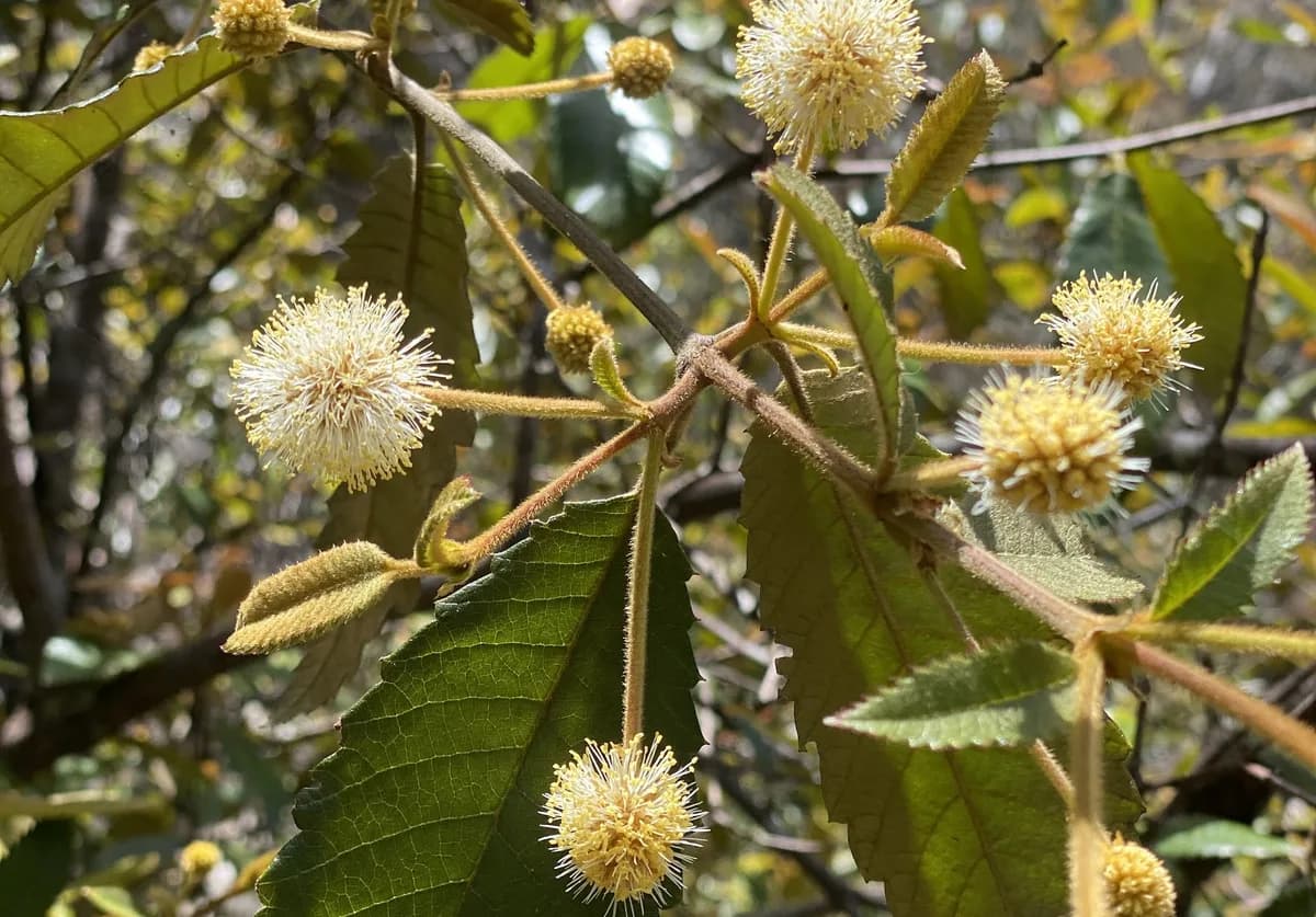
A gentle loop through the bushland above Umina Beach, known for its bright show of native wildflowers, including waratahs, grevilleas and banksias, especially in late winter and early spring.
Along the way you can see Aboriginal rock engravings of a man, a whale and stingrays. The path winds through open heath and sandstone outcrops, with the odd view out towards the water and Lion Island.
Go in cooler weather, around the end of August or start of September, for the best wildflowers.
Directions
- Start and finish point: -33.519422, 151.299459 (Google Maps)
- Turn right and head north over the rock. Do not follow the arrows carved into the rock, as they lead to a different walk: -33.518397, 151.295668 (Google Maps)
- Aboriginal engravings of a man, a whale and stingrays: -33.511265, 151.298559 (Google Maps)
Elevation
- Climb
- 50 m
- Descent
- 30 m
- Highest
- 185 m
- Lowest
- 135 m
Approximate, from a 30 m terrain model, so it can overstate the climb on cliff edge tracks.
Before you go
Tell your people where you are going
Set your route and return time in FriendsFindMe. If you do not check in, the people you trust are sent a text so they know to come looking for you.

The book
Find a sunrise lookout in the book
A Cornucopia of Central Coast Walks indexes its lookouts, including Mt Ettalong, Warrah, Wyrrabalong and Winney Bay, so you can pick a view for first light from over 100 walks. Each walk has a map and numbered directions for setting off in the dark.
See the bookThe original walk notes and photos on Good Architect
Park and state forest boundaries: CAPAD 2024 © Commonwealth of Australia (DCCEEW), CC BY 4.0; © Forestry Corporation of NSW, CC BY 3.0 AU; © State of Queensland, CC BY 4.0; © State of Victoria (DEECA), CC BY 4.0