
About this walk
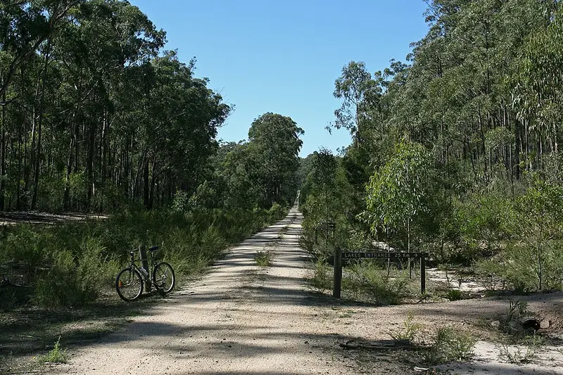
The Gippsland Lakes Discovery Trail is a shared walking and cycling path that links the East Gippsland Rail Trail with Lakes Entrance, through Colquhoun State Forest. This walk is the whole trail, shown from Lakes Entrance north to its junction with the rail trail on Seaton Track, near the old Colquhoun station site, about 12 km east of Bruthen. It is about 23 to 25 km one way, Grade 3, with short steep hills. It is mostly ridden by bike but makes a good walk, with gentle grades on the old tramway, forest and history.
The route
From the north, the trail leaves the rail trail as a bush track with some steep descents into the Mississippi Creek valley. After about 4 km you reach the site of a granite quarry, with a viewing platform and signs explaining how its pink granite was used to rebuild the channel at Lakes Entrance and went into buildings in Melbourne. From the quarry the trail follows the old tramway that carried the stone for about 7 km beside Mississippi Creek, crossing it several times, past old cuttings and leftover rails and sleepers, to the Log Crossing picnic area. The tramway goes on about 2 km more to Scriveners Road, where the granite was loaded onto barges at North Arm. From there a steep shared path climbs beside Scriveners Road to Colquhoun Road, and the last 8 km into Lakes Entrance follow Colquhoun Road and Palmers Road on asphalt with little or no shoulder, so take care with traffic.
Only about 9 km is on the old tramway, which is rougher and windier than most rail trails. The surface is mostly fine gravel. In spring look for wildflowers, and listen for bellbirds.
Getting there
To reach the northern end, head east from Bruthen, turn right onto Bruce Road and then left onto the dirt Seaton Track after crossing the rail trail. Park where the rail trail crosses Bruce Road and walk the 2 km along the rail trail to the start. Log Crossing picnic area, off Uncle Road, is an easier way in if you only want to see the tramway and quarry; it has toilets and a camping area. Lakes Entrance, at the southern end, has shops, food and accommodation.
Linking walks
The East Gippsland Rail Trail runs 96 km from Bairnsdale to Orbost through Bruthen and Nowa Nowa, so the Discovery Trail can be combined with it for a longer trip.
Before you go
The trail is shared with cyclists, so listen for bikes coming up behind you on the bends. Carry all the water you need. Check the state's forest and road closures page before you go.
Elevation
- Climb
- 370 m
- Descent
- 250 m
- Highest
- 142 m
- Lowest
- 2 m
Approximate, from a 30 m terrain model, so it can overstate the climb on cliff edge tracks.
Before you go
Tell your people where you are going
Set your route and return time in FriendsFindMe. If you do not check in, the people you trust are sent a text so they know to come looking for you.
Park and state forest boundaries: CAPAD 2024 © Commonwealth of Australia (DCCEEW), CC BY 4.0; © Forestry Corporation of NSW, CC BY 3.0 AU; © State of Queensland, CC BY 4.0; © State of Victoria (DEECA), CC BY 4.0
Walk data: © State of Victoria (Department of Energy, Environment and Climate Action; Department of Jobs, Skills, Industry and Regions), CC BY 4.0