
About this walk
The Klingsporn Bridle Track links Mirimbah, at the foot of Mount Buller on the Mount Buller Road, with the Mount Buller ski area high above. Cattlemen once rode it, and today it is one of the resort's summer walking trails, graded Advanced. It is 6.7 kilometres one way from the summit area down to Mirimbah. This walk runs the other way, from Mirimbah up to the ski runs near Spurs below the village, and is a little longer.
The route
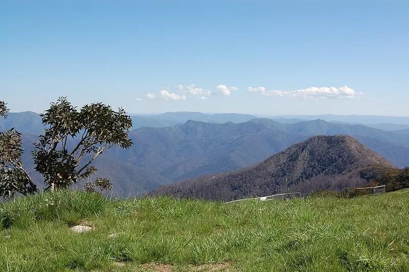
Walk it downhill and arrange a pickup at Mirimbah. From the Clock Tower in the village you walk up Athletes Walk past the ABOM Hotel, up Summit Road to the Arlberg, then cross towards the ski area and look for a stone and timber shelter where the walking track starts. The track heads towards Spurs, follows the road past the Northside Express chairlift and along the Burnt Hut ski run to the bottom of the Bonza chairlift. From there you leave the vehicle track and take the bridle track straight ahead, which is narrow and rough but easy to follow. It crosses a bridge over Boggy Creek, rounds a big spur about halfway and turns west through scrubby forest to a boulder field. Near the bottom you look down on the Mount Buller Road and the Delatite River Trail beyond it, then pass through a stand of pines onto a wide fire track for the last descent to Mirimbah. Along the way you pass through mountain grassland, woodland and rock, with wide views.
If you would rather walk up, start at Mirimbah and finish in the village. Walkers can ride the resort's bike shuttle down the mountain free of charge when it runs, which has been on weekends from December to the end of April and daily from 26 December to 16 January.
Who manages it
The lower part of the track is in state forest, and the trail is managed by the state's land department at Mansfield. For more information contact the Mansfield Information Centre on 03 5775 7000.
Before you go
Weather in the Alps can change very quickly, so carry warm and waterproof layers even in summer, and water. Check the trail's status on the Mt Buller Klingsporn Bridle Track page and look for closures on the Forest Fire Management Victoria closures page before you go.
Elevation
- Climb
- 980 m
- Descent
- 0 m
- Highest
- 1,661 m
- Lowest
- 681 m
Approximate, from a 30 m terrain model, so it can overstate the climb on cliff edge tracks.
Before you go
Tell your people where you are going
Set your route and return time in FriendsFindMe. If you do not check in, the people you trust are sent a text so they know to come looking for you.
Park and state forest boundaries: CAPAD 2024 © Commonwealth of Australia (DCCEEW), CC BY 4.0; © Forestry Corporation of NSW, CC BY 3.0 AU; © State of Queensland, CC BY 4.0; © State of Victoria (DEECA), CC BY 4.0
Walk data: © State of Victoria (Department of Energy, Environment and Climate Action; Department of Jobs, Skills, Industry and Regions), CC BY 4.0