How do I find the path?
Click on the map, it is powered by open street map and shows you where the path is - you can click on the navigator icon to show you where you are and check if you are on the right track.
You won't have reception when you are there so I also recommend that you download the alltrails map for the walk and the also downloading the Brooklana 9437-2N map on Avenza as a backup. Also a good idea to purchase the paper map and bring it and a compass as well as a backup phone. There is no reception so keep your phone on airport or airplane mode to conserve the battery.
Should I do the walk in 1 or 2 days?
Would highly recommend doing the walk in two days for a more relaxed walk. This means that you can spend a day getting up, set up at the campsite at 2 and relax with a swim in the beautiful swimming hole there. Have a campfire and a swim in the sun. Then have a relaxed walk out in the morning, have a cafe lunch in Dorrigo.
What Should I Bring?
Bring everything that we recommend in our overnight packing guide. In addition we recommend you bring the following for this particular walk:
- a lifestraw filter to filter water from the river
- at least 4L of water each, so you have enough for the way back up and cooking and hot water bottles
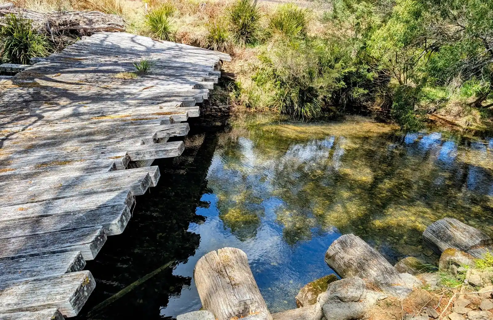
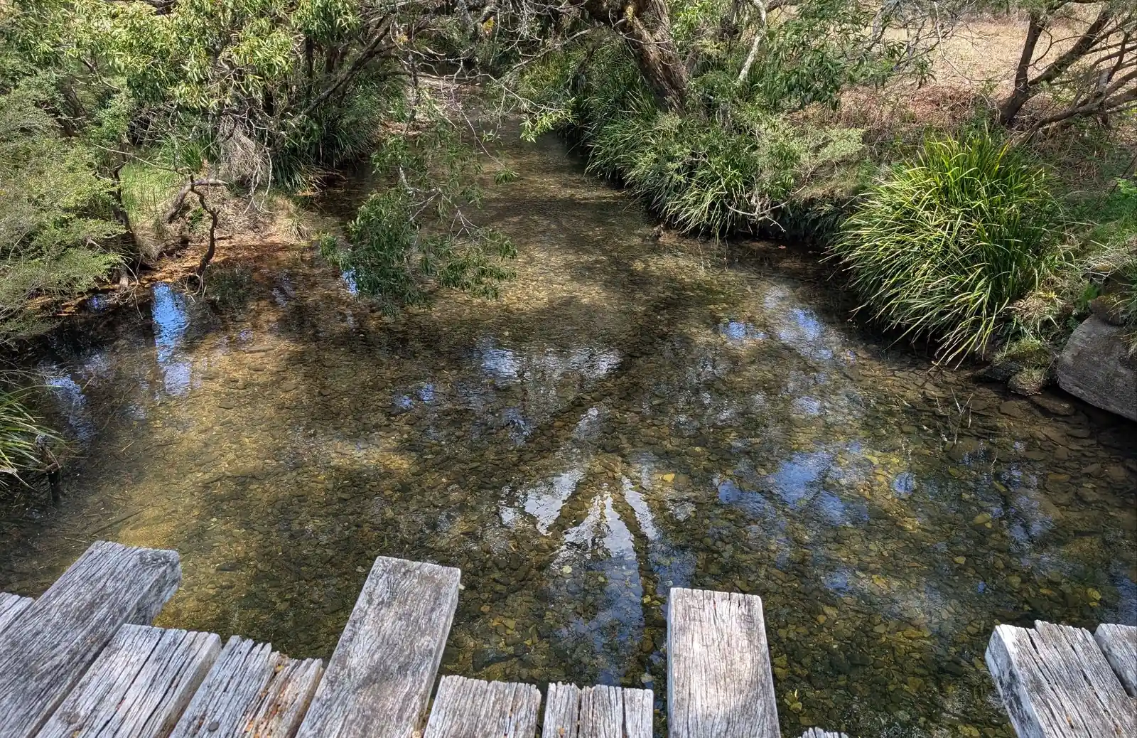
- a set of hiking poles each or at least one pole per person, very useful for the river crossings
Here is a link to the full checklist of what to take for this three day hike.
Should I go uphill or downhill?
We'd recommend walking downhill for an easier walk, walk uphill if you would like as it is better for your knees and a better workout for your heart. (Follow these directions in reverse).
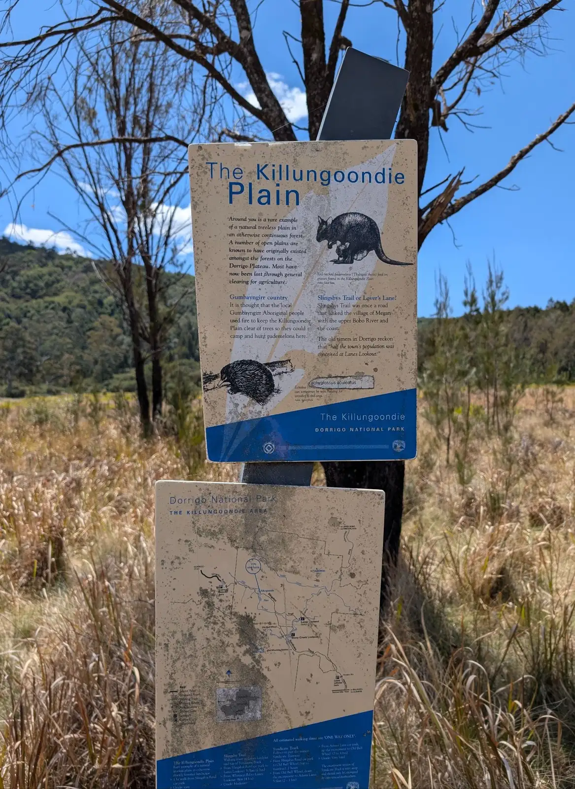
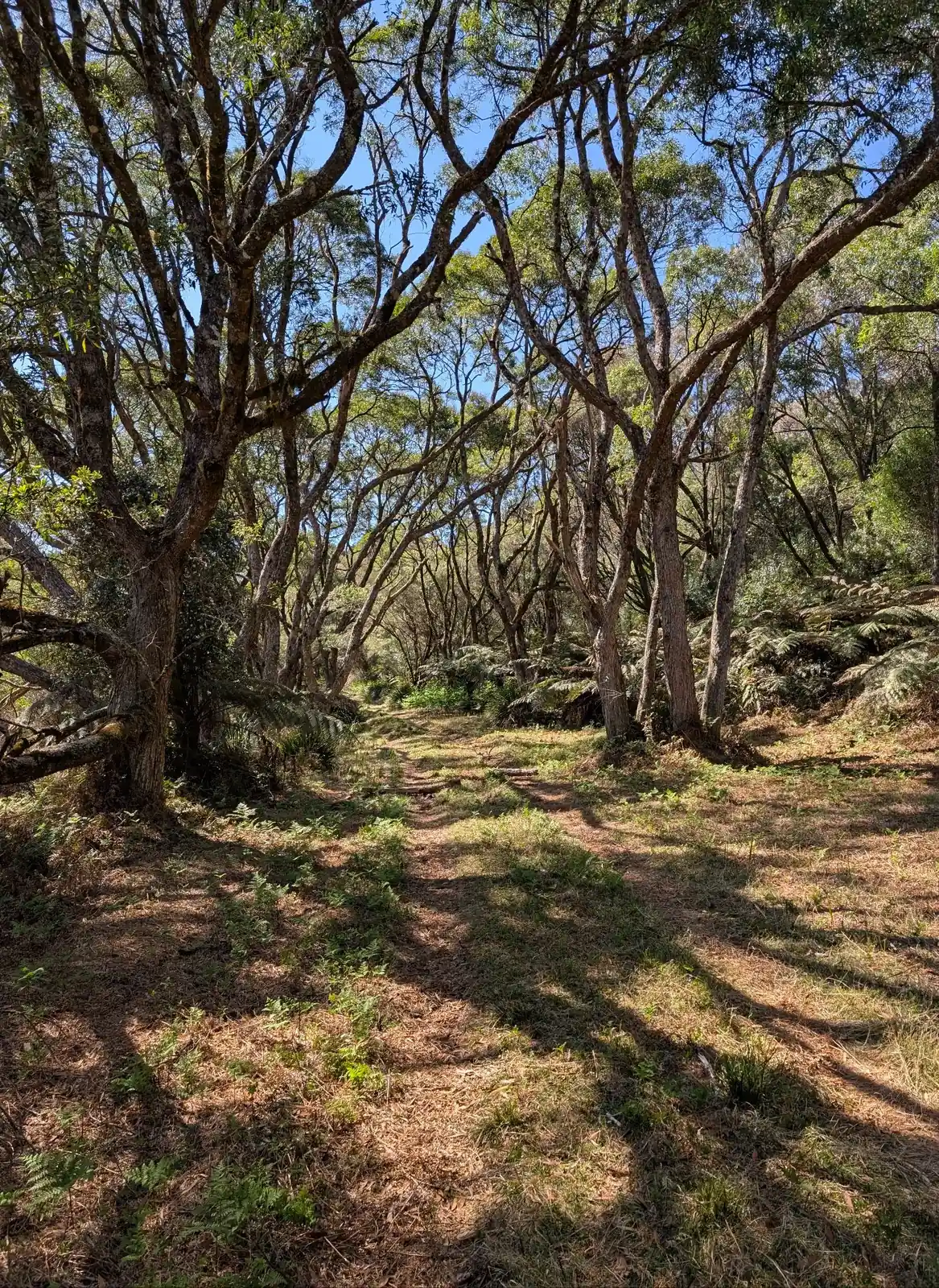
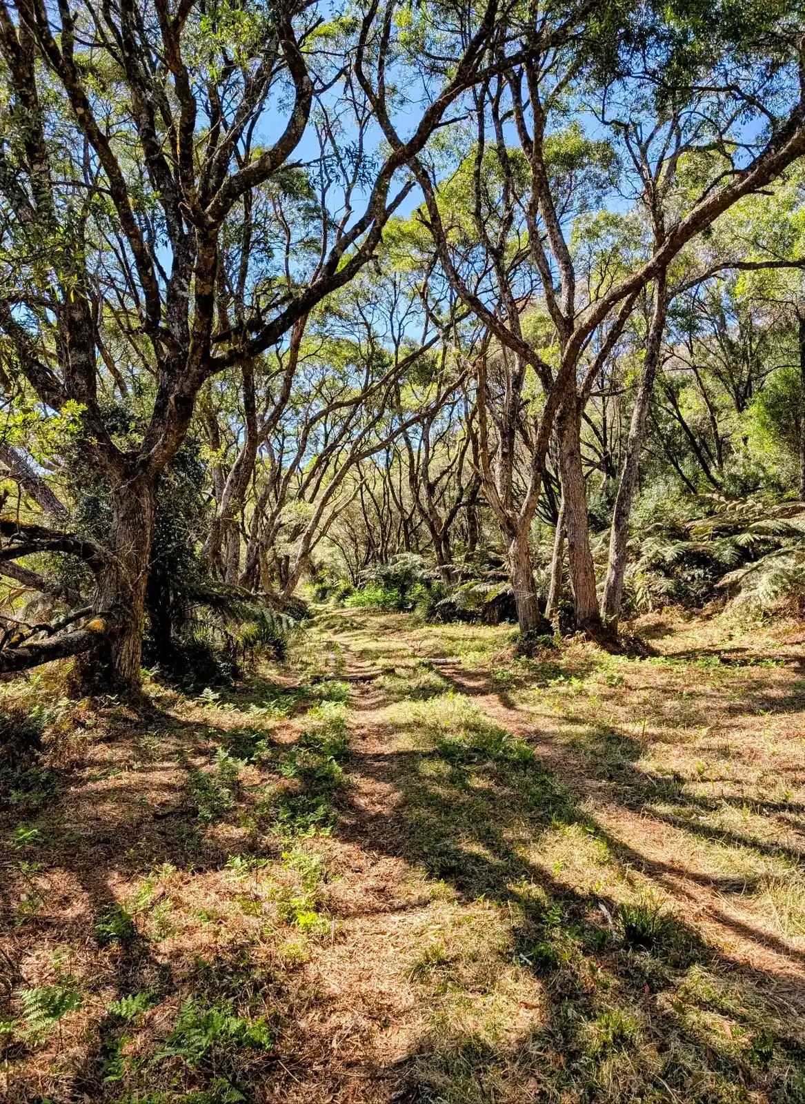
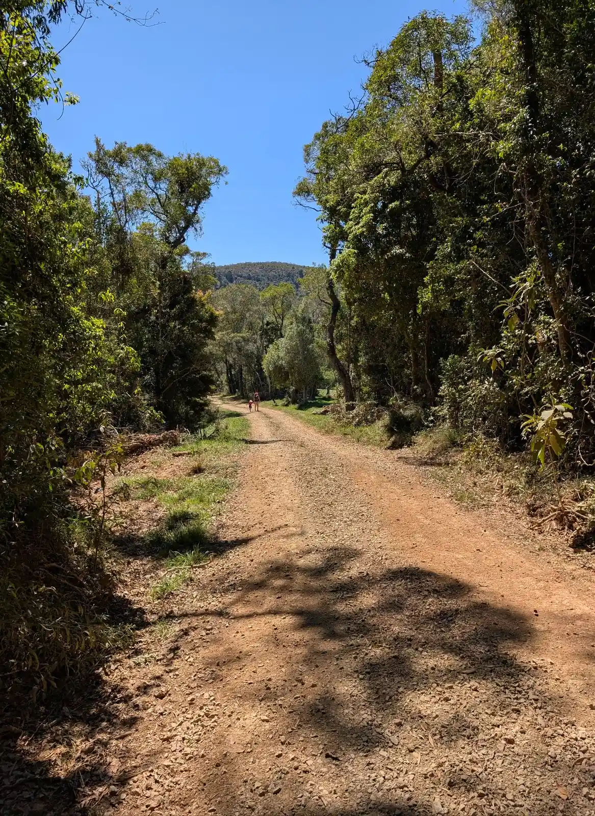
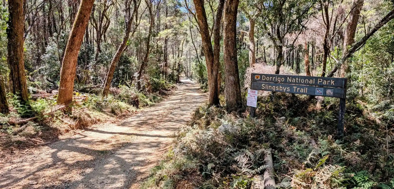
Where is the trail?
The alltrails trail is pretty accurate as well so follow that closely if you can.
Here are the points below, it might be a good idea to print out the coordinates of the crossings to make sure you are in the right place.
- Car shuffle from the bottom at the end of Adams Road. Here is the location of the end of Slingsbys Road to start: -30.32672788413818, 152.7935968426893, Google Maps link
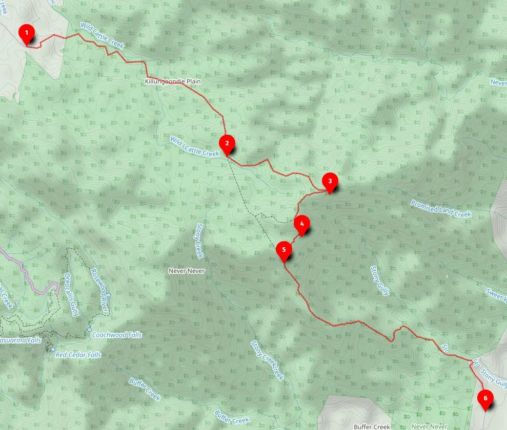
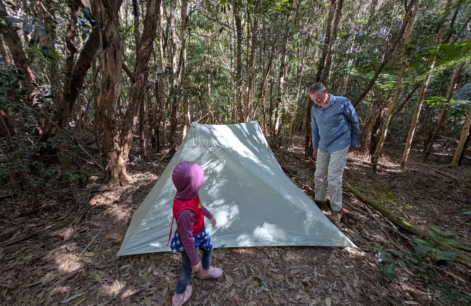
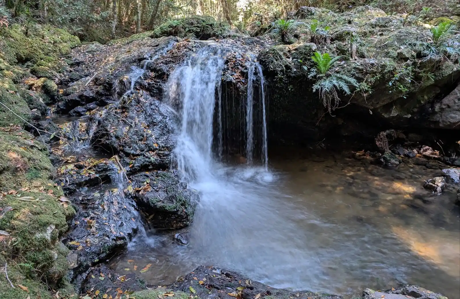
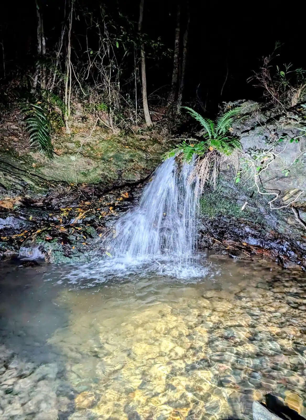
- This is the campsite, wander further in following the sound of falling water to find a small waterhole that is big enough to have a delicious swim in: -30.34253739016825, 152.82697907208546, Google Maps link
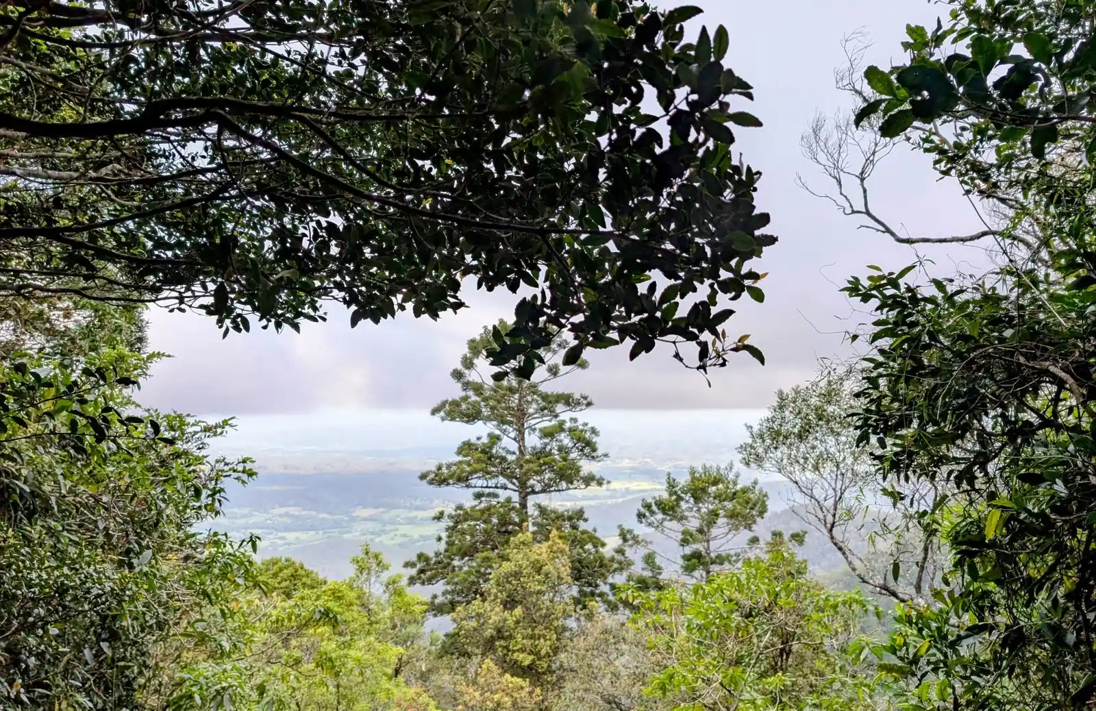
- Here is the lookout: -30.347740926770054, 152.84363022529118, Google Maps link
- Here is the lookout:: -30.354036650958058, 152.83949962348362, Google Maps link
- Turn left to head doen the hill: -30.35824918452534, 152.83660039218077, Google Maps link
- This is the end of Slingsbys Trail at the End of Adams Road which you can car shuffle to if you'd like to do the uphill version: -30.378737868149713, 152.87030117279866, Google Maps link
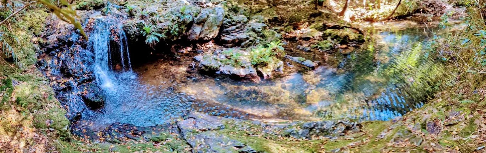
Says closed on the gate and on the website, it was fine to walk in October 2025 though.
How the Friends Find Me App Fits In
Apps like Avenza, AllTrails, and Gaia GPS open up the world of bushwalking and exploration, allowing you to confidently navigate trails, discover new paths, and track your progress. But as you embrace these tools to find the right track, it's also important to consider your safety and how your loved ones can stay connected with you while you explore.
That’s where the Friends Find Me app comes in. Just like these bushwalking apps help you navigate the wilderness, Friends Find Me is designed to ensure that your friends and family always know where you are. If something goes wrong—whether you lose signal, get injured, or go off track—the app sends your location to your trusted contacts, so they can come to your aid or alert emergency services.
While Avenza, AllTrails, and Gaia GPS help you find your way on your journey, Friends Find Me helps your loved ones find you if things don’t go as planned. It’s the perfect complement to these powerful bushwalking apps, allowing you to explore with the confidence that your safety is always a top priority.
So, as you head out on your next adventure, take advantage of these apps to find the right track—and use Friends Find Me to make sure your loved ones know you’ll be coming home safe.
Happy bushwalking!