
About this walk
This is the Bundageree Rainforest walk in Bongil Bongil National Park, on the coast between Urunga and Sawtell, south of Coffs Harbour. It is a 6 kilometre loop taking 1.5 to 3 hours, Grade 3. From Tuckers Rocks car park the track runs north through the strip of coastal rainforest behind the dunes to the rocky mouth of Bundageree Creek, below Bundagen Headland, and the loop comes back south along North Beach.
What you see
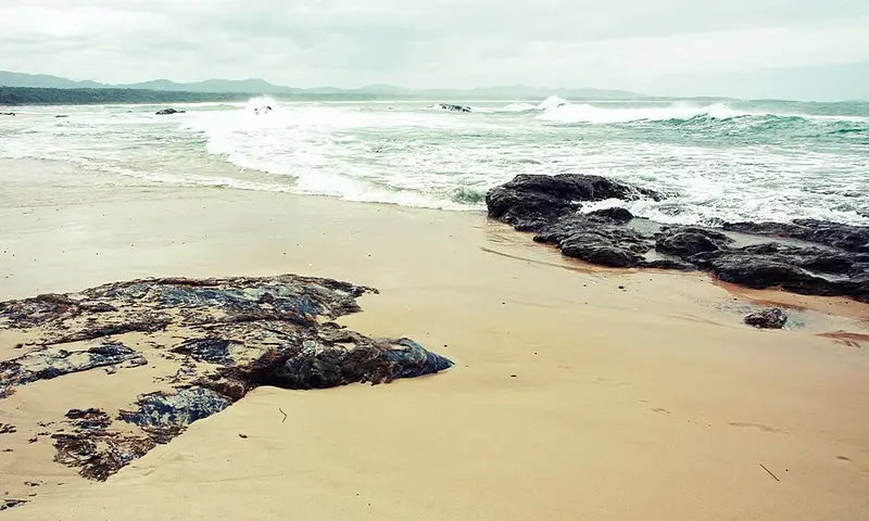
The rainforest side has red olive berry, coastal banksias and staghorn ferns, and plenty of birds, including Lewin's honeyeaters and satin bowerbirds. Look for a male bowerbird's bower: two parallel walls of sticks decorated with blue objects. At Bundageree Creek the track leaves the forest at a rocky shoreline with rock pools to explore. On the beach, watch for white bellied sea eagles overhead.
Underfoot
This is a flat, signposted, formed track with some obstacles and occasional steps, needing no previous experience. The return along North Beach, about 3 kilometres, is sandy and very exposed, so come prepared. For shade, walk back the way you came through the rainforest instead.
Getting there and facilities
From the Pacific Highway, take the Repton and Mylestom exit, then Perrys Hill Road from the old Pacific Highway, which becomes Tuckers Rocks Road. Follow it into the park to Tuckers Rocks car park. Roads in the park can flood after heavy rain, so check the weather first. Toilets, picnic tables and barbecues are at Tuckers Rocks Cottage, and there may be no facilities at the car park.
Before you go
The beaches here are not patrolled and can have strong rips, so swim at a patrolled beach instead. Mobile reception in the park is limited, and you need it to call Triple Zero (000). Bring drinking water, a hat and sunscreen. Pets are not allowed, and NPWS has run 1080 fox baiting programs in this park. Check Bongil Bongil National Park alerts and the Bundageree Rainforest walk page before you go.
Nearby
The walk links with the Bluff loop walking track, a 2.25 kilometre Grade 2 loop through coastal forest with a picnic area on a forested bluff, a short side track to a timber platform over Bundageree Creek, and a chance of seeing koalas.
Elevation
- Climb
- 20 m
- Descent
- 10 m
- Highest
- 15 m
- Lowest
- 3 m
Approximate, from a 30 m terrain model, so it can overstate the climb on cliff edge tracks.
Before you go
Tell your people where you are going
Set your route and return time in FriendsFindMe. If you do not check in, the people you trust are sent a text so they know to come looking for you.
Park and state forest boundaries: CAPAD 2024 © Commonwealth of Australia (DCCEEW), CC BY 4.0; © Forestry Corporation of NSW, CC BY 3.0 AU; © State of Queensland, CC BY 4.0; © State of Victoria (DEECA), CC BY 4.0
Walk data: © State of New South Wales (NSW National Parks and Wildlife Service), CC BY 4.0