
About this walk
This is the southern end of the Solitary Islands coastal walk, the 60 km route along the Coffs Coast between Red Rock in the north and Sawtell in the south. The whole walk is Grade 4 and takes 3 to 4 days, but it is easy to walk in pieces. This walk runs north from Sawtell Headland, through the middle of Coffs Harbour, to Macauleys Headland at the north end of Park Beach.
The route
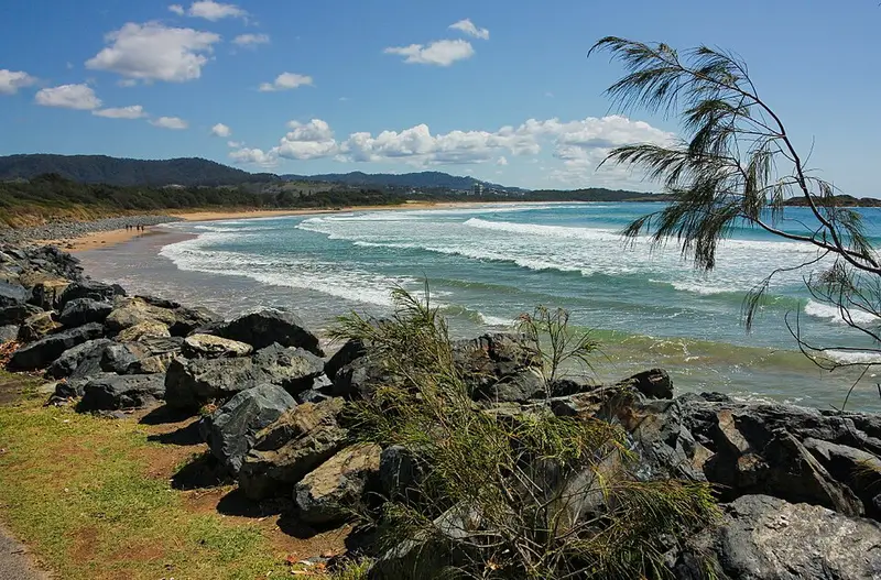
From the headland at Sawtell, where there is a tidal pool, the walk heads north along Sawtell Beach to Boambee Headland, then up the long sweep of Boambee Beach past the mouth of Boambee Creek to Corambirra Point and the southern breakwall of the harbour. Around the jetty foreshores you pass the historic Coffs Jetty and the marina, and the northern breakwall leads out to Muttonbird Island Nature Reserve, also known as Giidany Miirlarl. It is one of the few easy places in NSW to see wedge tailed shearwaters nesting; stay on the path, because their burrows line it and collapse easily. The Eastern Side lookout, about 2 km return from the breakwall car park, looks over the Solitary Islands and is a good spot for humpback whales between May and November. Back on the mainland, the path runs from the jetty to Park Beach and along the sand to Macauleys Headland.
Bonville Headland (Sawtell) to Boambee Headland is 3 km, Boambee Headland to Coffs Jetty is 8 km and the jetty to Park Beach is 1.4 km. The stretch from the jetty to Park Beach is Grade 1 and suits wheelchairs and prams; the rest is Grade 3. Lighthouse markers show the way along the whole walk.
Getting there and facilities
Reach the southern end by following signs to Sawtell Headland from Lyons Road and First Avenue; Boronia Street leads to parking on the headland. The middle of the section is all town, with cafes, shops, picnic areas, playgrounds and toilet blocks where you can refill water bottles. Sawtell Beach and Park Beach are patrolled in season; elsewhere expect rips.
Before you go
Beach walking is easiest at low tide. Pets are not permitted on the walk; the City of Coffs Harbour sets the rules for dogs on its beaches. Mobile reception is limited in parts of the reserves. Check the Solitary Islands coastal walk alerts before you go. Details and maps are on the NSW National Parks walk page.
Elevation
- Climb
- 80 m
- Descent
- 90 m
- Highest
- 29 m
- Lowest
- 2 m
Approximate, from a 30 m terrain model, so it can overstate the climb on cliff edge tracks.
Before you go
Tell your people where you are going
Set your route and return time in FriendsFindMe. If you do not check in, the people you trust are sent a text so they know to come looking for you.
Walk data: © State of New South Wales (NSW National Parks and Wildlife Service), CC BY 4.0