
About this walk
The George Bass Coastal Walk is a clifftop track along the Bass Strait coast between Kilcunda and the outskirts of San Remo, in Yallock-Bulluk Marine and Coastal Park, about 100 kilometres south east of Melbourne. It follows the southern edge of the Anderson Peninsula, the stretch of coast the explorer George Bass sailed along on his voyage of discovery more than 200 years ago. It is about 7 kilometres and 2 hours one way, from the Bass Highway at Kilcunda west to Punchbowl Road.
The park is named for the Yallock-Bulluk clan of the Bunurong people, whose country this is.
What it is like
From Kilcunda the track starts on firm gravel, then becomes a mown grass path through native grasses and coastal scrub, and crosses farmland on the way to the Punchbowl Coastal Reserve. The surface is a mix of mown grass, mud and beach sand. You climb over farm fences on stiles, and some sections are steep, so it needs average fitness. The cliffs are high and unstable and there are no fences, so keep well back from the edge, especially with children or a dog.
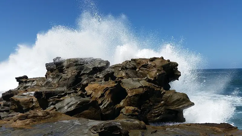
The views over Bass Strait are the reason to come. You may see whales on their winter and spring migration, and The Arch lookout shows off the coast's geology. Sandy Waterhole, roughly halfway, is a common turnaround: Kilcunda to Sandy Waterhole is about 4.5 kilometres one way. Part of the route goes onto the beach, and beach access is at low tide only, so check the tides first. None of the beaches along here are patrolled, and the currents make them unsafe for swimming.
Getting there and facilities
At Kilcunda, start opposite the hall at Peppermint Road on the Bass Highway. The Kilcunda Cliff Top Car Park has plenty of sealed parking and public toilets, and the town has a general store and a pub. At the San Remo end, the track starts at the southern end of Punchbowl Road, off the Phillip Island Road, where there is limited gravel parking and no toilets. Shelley Beach car park also has limited parking and no facilities. Without a car shuttle, plan to walk back the way you came, about 14 kilometres in all.
Dogs and links
Dogs are allowed on a lead. Half Moon Bay, Sandy Waterhole, Foots Beach and parts of Kilcunda Beach are dog friendly beaches. At Kilcunda the walk links to the Bass Coast Rail Trail, so you can keep going to Wonthaggi. Parks Victoria plans a 32 kilometre trail between San Remo and Cape Paterson that will take in this walk.
Before you go
Check the conditions on the Parks Victoria San Remo to Kilcunda page and the Yallock-Bulluk Marine and Coastal Park page. The Bass Coast Shire page has more on parking.
Elevation
- Climb
- 200 m
- Descent
- 170 m
- Highest
- 66 m
- Lowest
- 9 m
Approximate, from a 30 m terrain model, so it can overstate the climb on cliff edge tracks.
Before you go
Tell your people where you are going
Set your route and return time in FriendsFindMe. If you do not check in, the people you trust are sent a text so they know to come looking for you.
Walk data: © OpenStreetMap contributors, ODbL