
About this walk
Section 3 of the Larapinta Trail links Jay Creek with Standley Chasm in the Chewings Range, west of Alice Springs. It is one of the shorter sections, 13.6 kilometres and about 5.5 hours, but a challenging walk through some of the steepest and most rugged country in the ranges. It is graded 4, rough with long steep sections. Fit walkers can do it in a day.
The Larapinta Trail as a whole runs more than 230 kilometres in 12 sections along the West MacDonnell Ranges, from the Alice Springs Telegraph Station to Mount Sonder.
The route
From Jay Creek the trail passes the Fish Hole after 1.8 kilometres and reaches Tangentyere Junction 2.8 kilometres later. Here you choose: the low route to Millers Flat is 4 kilometres and about 1.5 hours, or the alternative high route over Pravda Spur is 4.6 kilometres and about 2.5 hours. The low route suits walkers of average fitness. From Millers Flat it is 3.6 kilometres to Angkale Junction and 1.4 kilometres into Standley Chasm. The trail passes below Mount Lloyd and near Cycad Creek and Fig Spring, and there are ancient cycads around Standley Chasm.
Water and camping
Jay Creek has a toilet, tables, a tank and a USB charging point. Millers Flat is a designated campsite with no toilet and no water. Standley Chasm has water from a local bore, toilets and a kiosk. Fires are banned on the trail.
Standley Chasm and access
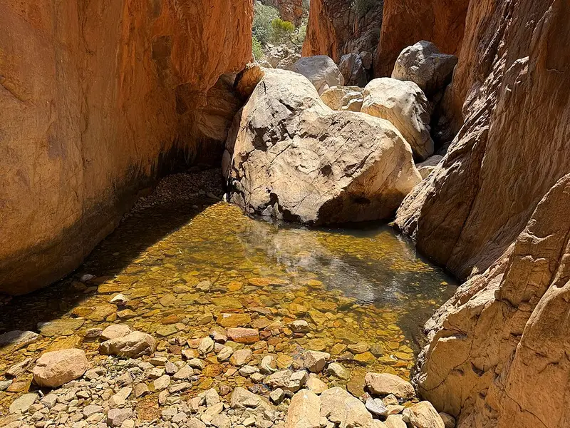
Standley Chasm is privately owned and run. Everyone pays an entry fee, and walkers camping there or just passing through on sections 3 and 4 pay too; phone 08 8956 7440 for details. The chasm is reached by conventional car during its opening hours. There is no vehicle access to Jay Creek, and the Hamilton Downs route is for emergencies only, so most people walk this section from Standley Chasm or arrive from Section 2.
There is a two day walk from Standley Chasm: out to Millers Flat, up the high route to Tangentyere Junction, back on the low route and a night at Millers Flat. Tell the kiosk staff if you leave your car overnight.
Before you go
Overnight walks need walking and camping fees and an online booking for each campsite, and interstate visitors need an NT Parks Visitor Pass. Walk between April and September, with at least two other people, with a personal locator beacon or satellite phone. The section 3 information sheet and map shows both routes. Check whether the park is open and the Larapinta Trail current conditions before you go.
Elevation
- Climb
- 450 m
- Descent
- 430 m
- Highest
- 976 m
- Lowest
- 723 m
Approximate, from a 30 m terrain model, so it can overstate the climb on cliff edge tracks.
Before you go
Tell your people where you are going
Set your route and return time in FriendsFindMe. If you do not check in, the people you trust are sent a text so they know to come looking for you.
Park and state forest boundaries: CAPAD 2024 © Commonwealth of Australia (DCCEEW), CC BY 4.0; © Forestry Corporation of NSW, CC BY 3.0 AU; © State of Queensland, CC BY 4.0; © State of Victoria (DEECA), CC BY 4.0
Walk data: © OpenStreetMap contributors, ODbL