
About this walk
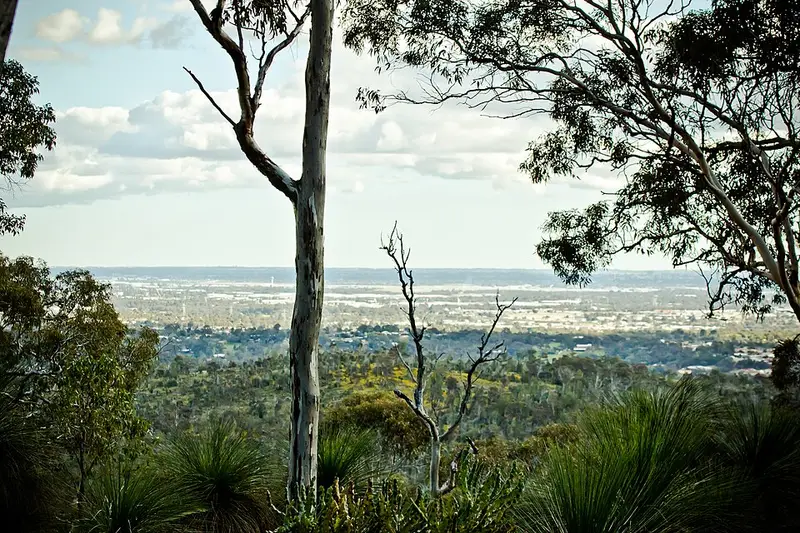
The Little Eagle Walk Trail is a loop in John Forrest National Park in the Perth Hills, Western Australia's first national park. It starts from the Ranger's Office, follows the Eagle View Walk out of the main park area, then heads east along a ridge with views over the Jane Brook valley. It drops into a quiet side valley beside a seasonal brook and climbs back through wandoo woodland to rejoin the Wildflower Walk for the return.
The trail is an 8.8 kilometre loop taking up to 3 hours, Class 3 (moderate), with short steep hills, rough ground, steps and some rock hopping. It is signposted and marked to be walked clockwise. Some bushwalking experience and moderate fitness will help. The trail crosses the park's mountain bike trail in places, so follow the Little Eagle markers and watch for riders where they meet.
When to go
August to November is wildflower season, and the park's waterfalls on Jane Brook flow in winter and spring. Summer days in the Perth Hills can be hot, so start early and carry plenty of water, at least a litre for every hour of walking. Phone coverage can be patchy, so carry a personal locator beacon.
Getting there and facilities
The park is about 30 minutes east of Perth. Turn off Great Eastern Highway onto Park Road; access is fine for a 2WD. Near the Ranger's Office you will find toilets, picnic areas with barbecues, accessible parking and water.
Fees and rules
Park entry fees apply: $17 for a standard vehicle, $10 concession, or you can use a park pass. Dogs and other pets are not allowed anywhere in the park, and bikes are not allowed on this trail.
Nearby walks
The longer Eagle View Walk shares the start, the Wildflower Walk (4.6 kilometres) shares the finish, and the National Park Falls walk follows Jane Brook. The park is the Country of the Whadjuk people, and the Jane Brook valley was an old travel route. Western grey kangaroos are commonly seen.
Check park alerts before you go. More detail is on the John Forrest National Park page and the TrailsWA Little Eagle Walk Trail page.
Elevation
- Climb
- 180 m
- Descent
- 180 m
- Highest
- 227 m
- Lowest
- 115 m
Approximate, from a 30 m terrain model, so it can overstate the climb on cliff edge tracks.
Before you go
Tell your people where you are going
Set your route and return time in FriendsFindMe. If you do not check in, the people you trust are sent a text so they know to come looking for you.
Park and state forest boundaries: CAPAD 2024 © Commonwealth of Australia (DCCEEW), CC BY 4.0; © Forestry Corporation of NSW, CC BY 3.0 AU; © State of Queensland, CC BY 4.0; © State of Victoria (DEECA), CC BY 4.0
Walk data: © OpenStreetMap contributors, ODbL