
About this walk
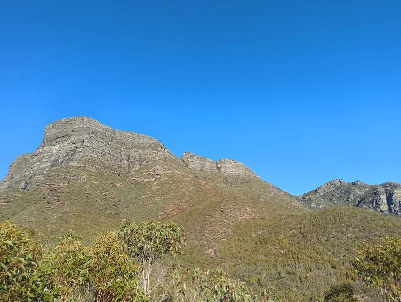
The Stirling Range Ridge Walk is a traverse of the eastern peaks of Stirling Range National Park, about 80 km north of Albany. This walk starts at the Bluff Knoll car park, climbs Bluff Knoll (1,095 metres, the highest peak in the southern half of Western Australia), then follows the range east past the Isongerup peaks, the three Arrows, Bakers Knob and Pyungoorup Peak to Ellen Peak, the most easterly peak, before dropping off the range to finish on the North Boundary Track, a vehicle track along the park's northern edge. It is usually walked over two days.
What it is like
This is not a built walking trail. Only the climb up Bluff Knoll is a formed path (Class 4, 6 km return, 3 to 4 hours on its own). Beyond the summit the route is cross country, not a marked trail. Expect steep, rough and uneven ground and rock edges that can crumble without warning or be very slippery. You need to navigate with a map and compass or GPS, and it suits fit, experienced walkers only.
The range runs east to west for more than 65 km, rising abruptly from cleared farmland, and holds more than 1,500 species of flowering plants, about 80 of them found nowhere else. Ten species of mountain bells (darwinias) grow in the park, and nine of them grow nowhere else. Late spring and early summer, October to December, is the peak of the wildflowers. Bluff Knoll, Bular Mial, is a place of great spiritual significance to the Menang and Goreng Noongar people.
Weather
The peaks are known for fast, unpredictable changes. A cold change can bring rain, fog or hail at short notice, and snow occasionally falls on the range. Summer brings heat and high fire danger, and lightning has started most of the park's fires: one in 2020 burned about 40,000 hectares. Do not walk on hot, windy days or days of extreme fire danger.
Before you set out
Contact the ranger before attempting the Ridge Walk or camping overnight, and register your details at the shelter in the picnic area across the road from the Bluff Knoll Road entry station. A park entry fee is paid at that entry station. Fill in a trip intention form and leave it with someone, and consider carrying a personal locator beacon. Plan to carry all your water: 3 to 4 litres per person per day. Pets are not allowed, and 1080 fox baits are laid throughout the park.
Phytophthora dieback, a soil mould that rots plant roots, is a serious threat here. Clean soil off your boots before and after the walk and avoid walking in wet, muddy conditions. The walk finishes at the far eastern end of the range, so arrange a car shuffle or pick up before you start.
The park's campground is Moingup Spring, where fees apply. Contact the park on (08) 9827 9230. Check Parks and Wildlife park alerts and the Stirling Range National Park page before you go.
Elevation
- Climb
- 1,650 m
- Descent
- 1,900 m
- Highest
- 1,075 m
- Lowest
- 195 m
Approximate, from a 30 m terrain model, so it can overstate the climb on cliff edge tracks.
Before you go
Tell your people where you are going
Set your route and return time in FriendsFindMe. If you do not check in, the people you trust are sent a text so they know to come looking for you.
Park and state forest boundaries: CAPAD 2024 © Commonwealth of Australia (DCCEEW), CC BY 4.0; © Forestry Corporation of NSW, CC BY 3.0 AU; © State of Queensland, CC BY 4.0; © State of Victoria (DEECA), CC BY 4.0
Walk data: © OpenStreetMap contributors, ODbL