
About this walk
The Wiilman Bilya is a dedicated walking trail that loops 87 km from Collie, out through Westralia Conservation Park and Wellington National Park, around Wellington Dam and back to town. Its name joins Wiilman, the Noongar people who are the Traditional Owners of this country, with bilya, the Noongar word for river.
The route
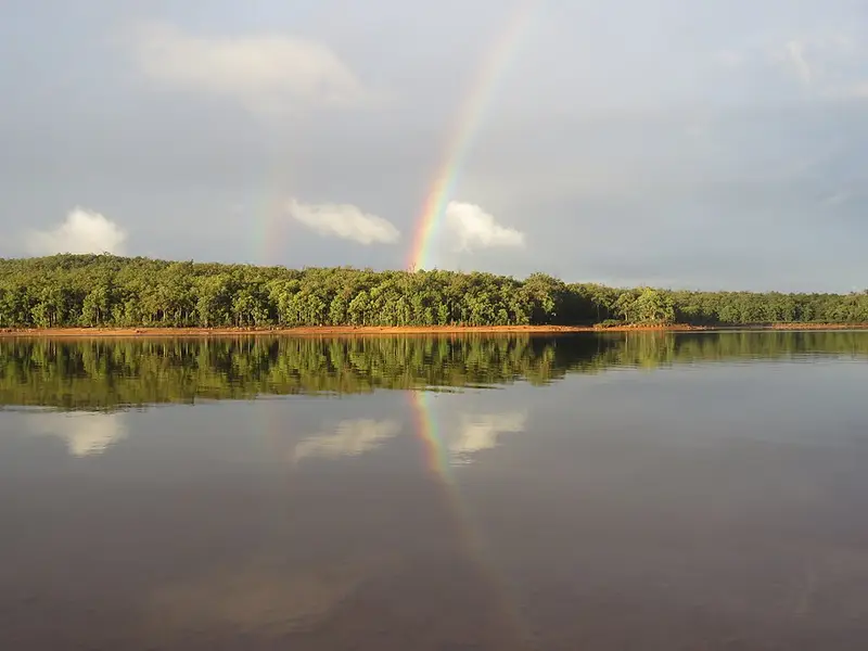
The trail mixes sealed dual use paths near Collie with single track through the forest and minor vehicle tracks. Highlights include views over the water of Wellington Dam, the Collie River seen from the 94 metre Kaniyung Wiilman suspension bridge, opened in 2022, granite outcrops, and mixed yarri (blackbutt), jarrah and marri forest. South of the dam it shares part of the Bibbulmun Wellington Spur Trail. It crosses the dam on the walkway across the top of the dam wall, above Guido van Helten's mural, and that walkway is open from 9am to 5pm daily, so plan your day around it. The trail is marked by a footprint symbol on grey posts.
What it is like
It is Class 4: a difficult trail with a rough surface that may have very steep hills or extensive rock hopping, where directional signage may be limited. You need bushwalking experience, navigation and first aid skills and good fitness. The whole loop takes 5 days and 4 nights, but you can walk shorter sections as a day walk or an overnighter.
Camping and water
There are four purpose built campsites: Kooboolong, Yakkan, Arcadia and Nyingarn. Each has a large roofed shelter with walls on the weather side, a water tank and a sealed vault drop toilet. Tank water is not guaranteed and must be treated by boiling, filtering or chemicals, so carry a backup supply. The trail also passes Potters Gorge campground, which must be booked in advance through Park Stay. Groups of eight or more staying at Arcadia must lodge a Group Notification with the Bibbulmun Track Foundation.
Getting there
Start in either direction from Soldiers Park, on the corner of Johnston and Lefroy streets, or the Collie Visitor Centre on Coalfields Road. There is parking at both, and the visitor centre can help arrange track transfers and sells the "Walk the Wiilman Bilya Trail" map, which you should buy before you set out. Entry to Wellington National Park is free, and pets are not allowed there.
Before you go
December to April can be extremely hot, with a very high bushfire risk. A spur trail links the loop to the Bibbulmun Track, so you can also make a 62 km loop that returns to Collie on the Bibbulmun. Check the Parks and Wildlife alerts and the Trails WA Wiilman Bilya page, which carries current access notices, before you go.
Elevation
- Climb
- 1,500 m
- Descent
- 1,550 m
- Highest
- 309 m
- Lowest
- 162 m
Approximate, from a 30 m terrain model, so it can overstate the climb on cliff edge tracks.
Before you go
Tell your people where you are going
Set your route and return time in FriendsFindMe. If you do not check in, the people you trust are sent a text so they know to come looking for you.
Park and state forest boundaries: CAPAD 2024 © Commonwealth of Australia (DCCEEW), CC BY 4.0; © Forestry Corporation of NSW, CC BY 3.0 AU; © State of Queensland, CC BY 4.0; © State of Victoria (DEECA), CC BY 4.0
Walk data: © OpenStreetMap contributors, ODbL