
About this walk
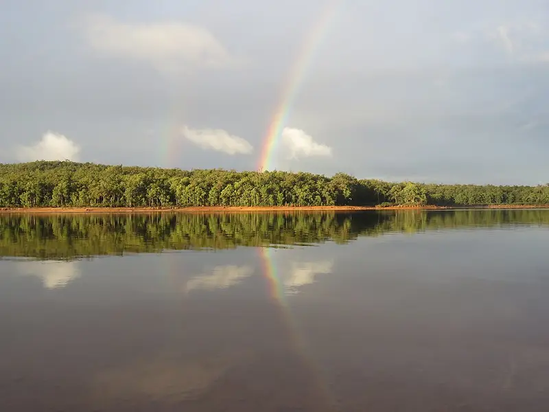
The Sika Trail is a forest loop in Wellington National Park, west of Collie, on Kaniyang and Wiilman Noongar Country. It is a 10 kilometre trail shared by walkers and mountain bike riders. It starts at the Kiosk at the Dam above Wellington Dam, loops through jarrah and marri forest, and comes back past the Potters Gorge camping area on the shore of the dam. It is part of the Wambenger Trails network.
What it is like
The trail runs through marri, jarrah and yarri (blackbutt) forest, and you can walk or ride it in either direction. A short stretch is shared with the Munda Biddi Trail, the long distance mountain bike route, and Potters Gorge has a pump track. The terrain is easy but the loop long, and it is a moderate walk that may have short steep hills, a rough surface, many steps or some rock hopping, needing some bushwalking experience and moderate fitness. Expect to meet riders, and keep to one side when they pass.
The park covers 25,000 hectares of forest. Spring brings wildflowers and a flowing river, and chuditch, quenda, quokka, brushtail possum and woylie are among the animals you might see, along with red tailed, Carnaby's and Baudin's black cockatoos.
Getting there and facilities
Entry to Wellington National Park is free. The Kiosk at the Dam sells coffee, meals and basic camping supplies and has free park maps; it opens every day except Wednesday, Thursday, Christmas Day and Boxing Day. Toilets are at Potters Gorge and near the dam car parks. Potters Gorge campground has 59 sites that must be booked through Park Stay, and no drinking water is provided there, so bring your own.
Pets are not permitted in the park, because 1080 fox and cat baits are laid there. December to April can be extremely hot, with a very high bushfire risk.
Nearby
The 1930s Quarry picnic area, the Wellington Dam lookout and Guido van Helten's mural on the dam wall are a short walk from the kiosk, and the Jabitj Trail follows the Collie River 6 km one way down to Honeymoon Pool. Check the Parks and Wildlife alerts and the Wellington National Park page before you go, and see Trails WA for a map.
Elevation
- Climb
- 200 m
- Descent
- 190 m
- Highest
- 289 m
- Lowest
- 196 m
Approximate, from a 30 m terrain model, so it can overstate the climb on cliff edge tracks.
Before you go
Tell your people where you are going
Set your route and return time in FriendsFindMe. If you do not check in, the people you trust are sent a text so they know to come looking for you.
Park and state forest boundaries: CAPAD 2024 © Commonwealth of Australia (DCCEEW), CC BY 4.0; © Forestry Corporation of NSW, CC BY 3.0 AU; © State of Queensland, CC BY 4.0; © State of Victoria (DEECA), CC BY 4.0
Walk data: © OpenStreetMap contributors, ODbL