
About this walk
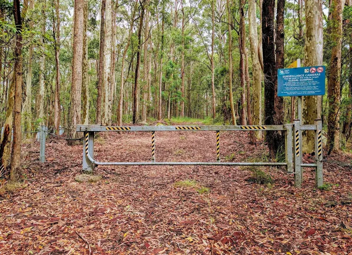
A lovely little walk, lush and green, with some gravel on the fire trail that helps keep the leeches down. Do this one when you want to be soaked in green, which is very good for your physical and mental health. There are no views or destinations: this walk is about being in the forest.
Directions
- Start at Mark Forster Reserve on Brush Road: -33.354718, 151.4109778 (Google Maps)
- Walk to the end of the road, enjoying the forest as you go: -33.35447, 151.40048 (Google Maps)
How do you pronounce Ourimbah?
Locals say it Or-im-bar. Ourimbah is an Aboriginal word meaning "sacred circle, initiation, belt of manhood".
Elevation
- Climb
- 20 m
- Descent
- 40 m
- Highest
- 164 m
- Lowest
- 135 m
Approximate, from a 30 m terrain model, so it can overstate the climb on cliff edge tracks.
Before you go
Tell your people where you are going
Set your route and return time in FriendsFindMe. If you do not check in, the people you trust are sent a text so they know to come looking for you.

The book
Over 100 Central Coast walks in one book
A Cornucopia of Central Coast Walks is my book of the walks on the Coast, for keeping in the car. Each walk has a map, the distance and climb, and numbered directions from the start point, with a wildflower guide at the back.
See the book