
About this walk
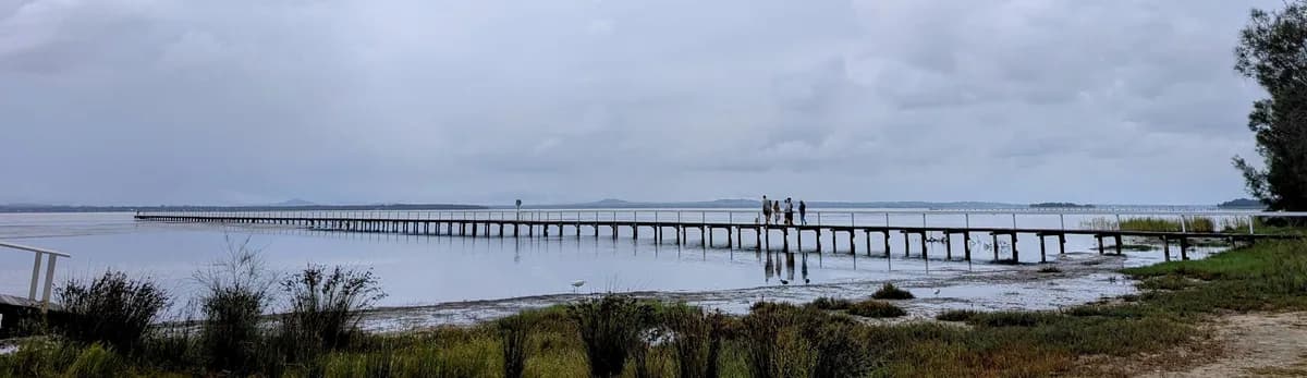
A lovely, fairly flat walk with water views and plenty of parks along the way, so it is a great one with a pram or with kids. The whole length is long, so feel free to join and leave the path wherever you like for a shorter walk that doesn't need a car shuffle (leaving one car at the finish and driving to the start in the other).
Directions
- Start at Chittaway Oval (if you are doing a car shuffle, meet at Picnic Point Reserve first): -33.325990484401544, 151.43426235760725 (Google Maps)
- Turn right to walk along the lakeside reserve: -33.329201506590316, 151.441352948537 (Google Maps)
- This is the finish at Picnic Point Reserve: -33.337404913592266, 151.49352041004798 (Google Maps)
Elevation
- Climb
- 20 m
- Descent
- 30 m
- Highest
- 10 m
- Lowest
- 0 m
Approximate, from a 30 m terrain model, so it can overstate the climb on cliff edge tracks.
Before you go
Tell your people where you are going
Set your route and return time in FriendsFindMe. If you do not check in, the people you trust are sent a text so they know to come looking for you.

The book
12 pram and wheelchair friendly walks in the book
A Cornucopia of Central Coast Walks lists 12 accessible walks, including the Tuggerah Lake Walk, the Kincumber waterfront, Norah Head Lighthouse and the Bulgandry engravings, each with a map and the climb up and down.
See the book