
About this walk
This is the main body of the Cooloola Great Walk, the five day route through the Cooloola Recreation Area of Great Sandy National Park between Noosa North Shore and Rainbow Beach. This walk follows the inland route from the Carlo Sand Blow car park at Rainbow Beach south over the Cooloola sand mass to the edge of Noosa North Shore, stopping a couple of kilometres short of the southern entrance in Arthur Harrold Nature Refuge. The inland route is 88.1 km over 5 days, and the whole Great Walk, with its coastal option, is 102 km. It is Grade 4: steep grades and steps, very soft sand, wet ground at times, and a moderate level of fitness, experience and navigation skill expected.
The stages
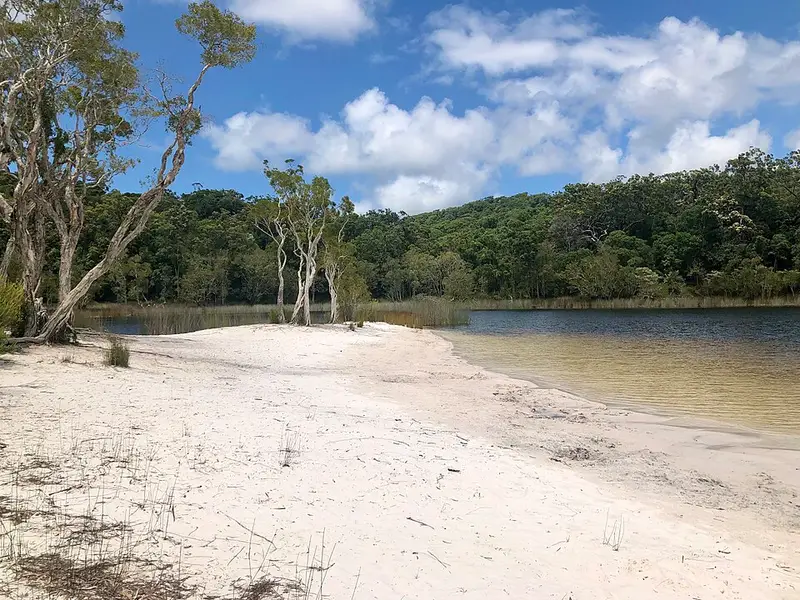
The stages are numbered from south to north. S1 runs 17.3 km from Noosa North Shore to Brahminy walkers' camp across coastal heath that flowers from late winter to spring, with side trips to Teewah Landing on Lake Cootharaba and up Mount Seawah. S2 is 20.3 km to Dutgee walkers' camp over high dunes of scribbly gum and blackbutt, including a 1 km crossing of the open Cooloola Sand Patch that tests your navigation, then down to the Upper Noosa River at Log Landing. S3 is 14.8 km to Litoria walkers' camp through tall blackbutt forest, with steep sections and Ramsay's Hut, an old timber cutter's hut. S4 is 20.5 km to Kauri walkers' camp, past the perched Lake Cooloomera, home of the acid frog Litoria cooloolensis, and on to a ridge of rainforest under kauri pines. S5 is 15.2 km past Poona Lake, the largest perched lake in Cooloola, and across Carlo Sand Blow to the car park.
Water, camping and rules
The four walkers' camps, Brahminy, Dutgee, Litoria and Kauri, are for walkers only, with rainwater tanks and toilets. Tank levels depend on rain and are not guaranteed, and August to October are the driest months. Water is also available at Freshwater day use area. Carry a full day's water and treat it all. Book your campsites and pick up permits from the Great Sandy Information Centre in Tewantin or the Queensland Parks and Wildlife Service centre in Rainbow Beach. Campfires are banned, there are no bins, and domestic animals are not allowed.
Before you go
Mobile coverage is limited; assembly areas are marked on the topographic map and satellite phones work. From October to April cross heath, sand blows and hollows in the cool of the day. Expect 4WD traffic on some inland sections, dingoes around camps, and flooding on the Upper Noosa River after heavy rain. Read the Cooloola Great Walk walking page and check Queensland park alerts before you go.
Elevation
- Climb
- 1,550 m
- Descent
- 1,650 m
- Highest
- 229 m
- Lowest
- 5 m
Approximate, from a 30 m terrain model, so it can overstate the climb on cliff edge tracks.
Before you go
Tell your people where you are going
Set your route and return time in FriendsFindMe. If you do not check in, the people you trust are sent a text so they know to come looking for you.
Park and state forest boundaries: CAPAD 2024 © Commonwealth of Australia (DCCEEW), CC BY 4.0; © Forestry Corporation of NSW, CC BY 3.0 AU; © State of Queensland, CC BY 4.0; © State of Victoria (DEECA), CC BY 4.0
Walk data: Queensland Parks and Wildlife Service access © The State of Queensland 2025, CC BY 4.0