
About this walk
The Double Island Point walk is a long day hike in the Cooloola Recreation Area of Great Sandy National Park, from Rainbow Beach over the high coastal dunes to the headland at Double Island Point. It is 30 km return, allow 11 hours, Grade 4, which suits fit walkers with some bushwalking experience. This walk follows the dune track from the Rainbow Beach end to where it comes out at the beach behind the point. The beach walk around to the headland and the climb to the lighthouse are not included.
The route
The track follows the line of the old telegraph that served the lighthouse, and you can still see some of the original posts standing among tall blackbutt trees. Where it reaches the coast there is a calm lagoon at the foot of the headland, where surfers ride long rolling waves around the point. From the southern beach a separate steep track climbs to Double Island Point Lighthouse, 2.2 km return and Grade 3, with an 800 m side trail to the northern beach. The lighthouse and its buildings date from 1884, and on a clear day the view runs from K'gari and Rainbow Beach around to Noosa. Look for dolphins, marine turtles and manta rays off the headland, and humpback whales between July and November.
Getting there
The walk starts from the far corner of the car park at the Rainbow Beach Information Centre, on the right of Rainbow Beach Road as you come into town. Rainbow Beach is reached on sealed roads: from Gympie take Tin Can Bay Road for 42 km, then Rainbow Beach Road for 29 km.
Before you go
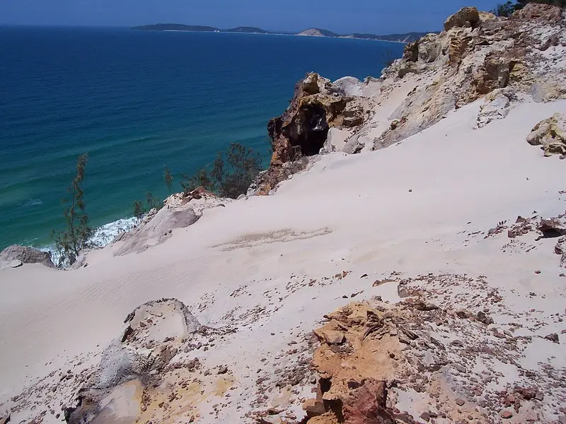
There is no water anywhere along the walk, so carry enough for a full day in the sun. Facilities include picnic tables and toilets that do not flush. The beaches here are also roads, with four wheel drives travelling at up to 80 km/h on the hard sand, so stay visible and keep out of the traffic lanes. Keep well back from sand cliff edges, which can slip without warning, and do not swim in the surf, where rips and sharks are common. Domestic animals are not allowed in the national park.
Check the Double Island Point walk page and Queensland park alerts before you go, as shifting sand can change access around the point.
Elevation
- Climb
- 140 m
- Descent
- 260 m
- Highest
- 181 m
- Lowest
- 15 m
Approximate, from a 30 m terrain model, so it can overstate the climb on cliff edge tracks.
Before you go
Tell your people where you are going
Set your route and return time in FriendsFindMe. If you do not check in, the people you trust are sent a text so they know to come looking for you.
Park and state forest boundaries: CAPAD 2024 © Commonwealth of Australia (DCCEEW), CC BY 4.0; © Forestry Corporation of NSW, CC BY 3.0 AU; © State of Queensland, CC BY 4.0; © State of Victoria (DEECA), CC BY 4.0
Walk data: Queensland Parks and Wildlife Service access © The State of Queensland 2025, CC BY 4.0