
About this walk
The Toolona Creek circuit climbs a narrow rainforest gorge full of waterfalls in the Green Mountains section of Lamington National Park. The whole circuit is 17.4 kilometres, about 6 hours, on a Grade 4 track (bushwalking experience recommended; tracks can be long, rough and steep), and is best walked clockwise. This walk is the gorge section only: from the circuit junction below Picnic Rock, up Toolona Creek to Wanungara lookout on the Border Track. The walk in from the trailhead and the return along the Border Track are not part of this section.
The route
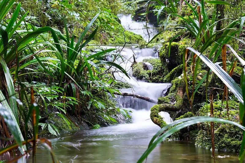
From the Green Mountains trailhead, follow the Border Track for 1.7 kilometres to the junction with the Toolona Creek and Box Forest circuits. Go downhill 400 metres past Picnic Rock to the start of the Toolona Creek circuit, then follow the creek up through Toolona Gorge. Chalahn, Toolona and Poojabinya falls are along the way, and the spray keeps the gorge cool and damp. That shelter suits ancient flowering rainforest plants and the giant king fern, Todea barbara, from one of the oldest fern families, which evolved before Gondwana formed.
The gorge brings you out at Wanungara lookout, with views down the Limpinwood Valley to Mount Warning, and on clear days to Point Lookout on Stradbroke Island, Murwillumbah, the sea and as far south as Byron Bay. It suits a lunch stop. You return along the Border Track past Mount Bithongabel through big clumps of Antarctic beech, and Toolona lookout gives another view of Mount Warning and the Limpinwood Valley.
Getting there and facilities
The Green Mountains day use area is at the end of Lamington National Park Road, 36 kilometres of narrow, winding bitumen from Canungra. Allow at least 50 minutes; the road is unsuitable for caravans and RVs over 6 metres. There are flush toilets, picnic tables, free electric barbecues and an information centre at the trailhead. Mount Bithongabel bush camp, on the Border Track about 6.5 kilometres in, can be booked from 1 February to 30 November.
Before you go
Rocks near waterfalls are slippery, so take care at the edges and never jump into pools. Do not cross creeks in flood. Watch for leeches, ticks and stinging trees, and do not start a long walk after midday. Mobile coverage is unreliable, though lookouts sometimes get a signal. Check the Queensland Parks alerts and the Toolona Creek circuit page before you go.
Elevation
- Climb
- 360 m
- Descent
- 70 m
- Highest
- 1,165 m
- Lowest
- 815 m
Approximate, from a 30 m terrain model, so it can overstate the climb on cliff edge tracks.
Before you go
Tell your people where you are going
Set your route and return time in FriendsFindMe. If you do not check in, the people you trust are sent a text so they know to come looking for you.
Park and state forest boundaries: CAPAD 2024 © Commonwealth of Australia (DCCEEW), CC BY 4.0; © Forestry Corporation of NSW, CC BY 3.0 AU; © State of Queensland, CC BY 4.0; © State of Victoria (DEECA), CC BY 4.0
Walk data: Queensland Parks and Wildlife Service access © The State of Queensland 2025, CC BY 4.0