
About this walk
The West Canungra Creek circuit is a creek walk below the Green Mountains day use area in Lamington National Park. The whole circuit is 13.9 kilometres, about 5.5 hours, on a Grade 4 track (bushwalking experience recommended; tracks can be long, rough and steep), and is best walked clockwise because of the gradient. This walk is the creek section between the Border Track and the Box Forest circuit near Picnic Rock; the walk in from the trailhead and the return along the Box Forest circuit are not part of this section.
What it is like
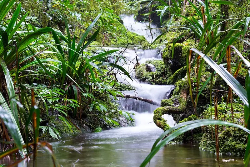
You follow the Border Track for about 600 metres, then branch off and descend past Darraboola Falls through rainforest with red cedar trees to West Canungra Creek and the quiet pools of Yerralahla. From there the track follows the creek for most of its length, crossing it several times by stepping from boulder to boulder. Look in the pools for eels, fish and the bright blue Lamington spiny crayfish, and watch for snakes sunning on the rocks. On overcast summer days you may spot a Border Ranges leaf tailed gecko pressed against a trunk; it lives only in this World Heritage area, and fossils of its ancestors more than 20 million years old have been found at Riversleigh. The circuit then joins the Box Forest circuit and climbs back to the day use area.
The crossings can be hard going, especially after rain, and the track is not obvious in places: follow the orange arrows at each crossing, and ask a ranger about track conditions before you start. Eels in the creek bite when threatened, and people have been hurt, so do not wade or sit in the water. Never cross a flooded creek.
Getting there and facilities
The Green Mountains day use area is at the end of Lamington National Park Road, 36 kilometres of narrow, winding bitumen from Canungra. Allow at least 50 minutes; the road is unsuitable for caravans and RVs over 6 metres. The day use area has flush toilets, picnic tables, free electric barbecues and an information centre with track profiles.
Before you go
Leeches, ticks and stinging trees are common in the park. Mobile coverage is unreliable. Tell someone your route and return time, and check the Queensland Parks alerts and the West Canungra Creek circuit page before you go.
Elevation
- Climb
- 460 m
- Descent
- 360 m
- Highest
- 926 m
- Lowest
- 522 m
Approximate, from a 30 m terrain model, so it can overstate the climb on cliff edge tracks.
Before you go
Tell your people where you are going
Set your route and return time in FriendsFindMe. If you do not check in, the people you trust are sent a text so they know to come looking for you.
Park and state forest boundaries: CAPAD 2024 © Commonwealth of Australia (DCCEEW), CC BY 4.0; © Forestry Corporation of NSW, CC BY 3.0 AU; © State of Queensland, CC BY 4.0; © State of Victoria (DEECA), CC BY 4.0
Walk data: Queensland Parks and Wildlife Service access © The State of Queensland 2025, CC BY 4.0