
About this walk
The Bridle Gap Hike crosses the floor of Ikara (Wilpena Pound) in Ikara Flinders Ranges National Park, from the Wilpena trailhead to Bridle Gap, a high saddle in the pound's south western wall. It is 18.8 km and 6 hours, starting from the bushwalking trailhead at the Wilpena Visitor Centre, and is one of the park's moderate hikes. This page covers the one way walk between the gap and Wilpena, so the return trip is about twice its length.
What you see
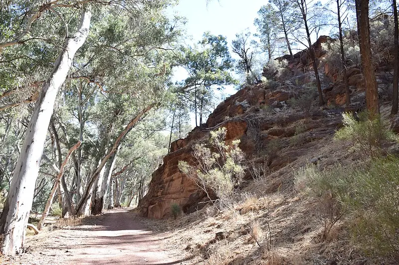
The track is part of the Heysen Trail. From Wilpena it follows the creek through Wilpena Gap, which with Bridle Gap is one of only two breaks in the pound's wall, to the restored Hills Homestead. The Hill family took up the lease in 1901, cut a road through the gap and grew crops on the pound floor until a flood in 1914 washed the road away and they sold to the government. Beyond the homestead the track runs south west across the pound through mallee, native pine and heath, where you can watch for wrens, robins, parrots and raptors. The story behind the gap's name is that it was the only place apart from the gorge where a good rider could take a horse into the pound. From the top, Heysen Trail walkers continue down through Black Gap, and the gap has views across to the Elder Range.
The Adnyamathanha name for the pound is Ikara, meaning "meeting place". The pound measures about 17 km by 8 km including its ranges, and its level floor is about 8 km by 4 km.
Getting there and facilities
The park is about 450 km north of Adelaide: drive to Hawker, then follow the signs to Wilpena. The main road through the park into Wilpena is sealed. Vehicle entry is $14.40 per vehicle. Wilpena has toilets, showers, fuel, a general store, the visitor centre (open 8 am to 5 pm, phone 08 8648 0048), a campground and the resort. Dogs are not permitted in the park.
Before you go
April to October is the comfortable season; summer maximums run from 30 to 45 °C. Carry at least 4 litres of water each for walks over two hours, sign the Bushwalkers Register at the trailhead for walks of three hours or more, and tell someone your route. All trails close on Catastrophic Fire Danger days. Check the Ikara Flinders Ranges park page and the Parks SA closures and alerts before you go.
Elevation
- Climb
- 50 m
- Descent
- 200 m
- Highest
- 696 m
- Lowest
- 539 m
Approximate, from a 30 m terrain model, so it can overstate the climb on cliff edge tracks.
Before you go
Tell your people where you are going
Set your route and return time in FriendsFindMe. If you do not check in, the people you trust are sent a text so they know to come looking for you.
Park and state forest boundaries: CAPAD 2024 © Commonwealth of Australia (DCCEEW), CC BY 4.0; © Forestry Corporation of NSW, CC BY 3.0 AU; © State of Queensland, CC BY 4.0; © State of Victoria (DEECA), CC BY 4.0
Walk data: Recreation Trails © Crown in right of the State of South Australia (Department for Environment and Water), CC BY 4.0