
About this walk
This is the western loop of the Investigator Trail in Lincoln National Park, south of Port Lincoln. The trail inside the park is a figure eight of about 89 kilometres, and where the eastern loop keeps to sheltered bays, this one crosses to the exposed Southern Ocean coast. This loop starts and finishes near Pillie Lake, in the middle of the figure eight, and is about 36 kilometres.
The route
From Pillie Lake the trail heads to the park entrance along a quiet stretch that skirts the coast with views of Proper Bay; park entrance to Pillie Lake is 7.8 kilometres and 2 hours 30 minutes, with superb wildflowers in spring. From the entrance it runs 8.9 kilometres, about 3 hours, to Sleaford Mere, near the south west corner of the park. The mud at the edge of the mere can be deep.
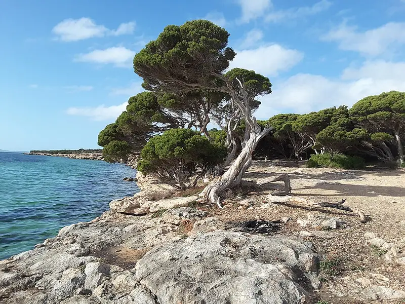
The stage graded a hard hike, Wanna Dunes to Sleaford Mere, is 14.3 kilometres and about 5 hours. It climbs through low mallee to a lookout over the park, then follows the Sleaford Bay coast past the huge wind shaped dunes of the Sleaford to Wanna system, with Southern Ocean beaches and limestone cliffs. The Brian Clarke Hut, a walkers' shelter at checkpoint 23, is on this stage. From the Wanna end the trail turns inland through mallee back to Pillie Lake.
Between May and October, southern right whales can be seen in Sleaford Bay, and the Wanna and Lone Pine lookouts are good places to watch.
Water and camping
There is no drinking water in the park. Carry 2 litres per person for every half day and do not rely on the tanks. Campsites must be booked before you arrive. Watch for fragile cliff edges, slippery rocks, freak waves and rips along the coast.
Getting there
The park entrance is 13 kilometres south west of Port Lincoln via Proper Bay Road. Vehicle entry is $14.40, paid before you enter. Dogs are not allowed.
Before you go
Phone coverage is patchy, especially in low ground. The park closes on days of Catastrophic Fire Danger. Fill in a trip intentions form and talk to a ranger before a multiday trek. Check the Lincoln National Park page and the SA parks closures and alerts page.
Elevation
- Climb
- 360 m
- Descent
- 350 m
- Highest
- 119 m
- Lowest
- 0 m
Approximate, from a 30 m terrain model, so it can overstate the climb on cliff edge tracks.
Before you go
Tell your people where you are going
Set your route and return time in FriendsFindMe. If you do not check in, the people you trust are sent a text so they know to come looking for you.
Park and state forest boundaries: CAPAD 2024 © Commonwealth of Australia (DCCEEW), CC BY 4.0; © Forestry Corporation of NSW, CC BY 3.0 AU; © State of Queensland, CC BY 4.0; © State of Victoria (DEECA), CC BY 4.0
Walk data: Recreation Trails © Crown in right of the State of South Australia (Department for Environment and Water), CC BY 4.0