
About this walk
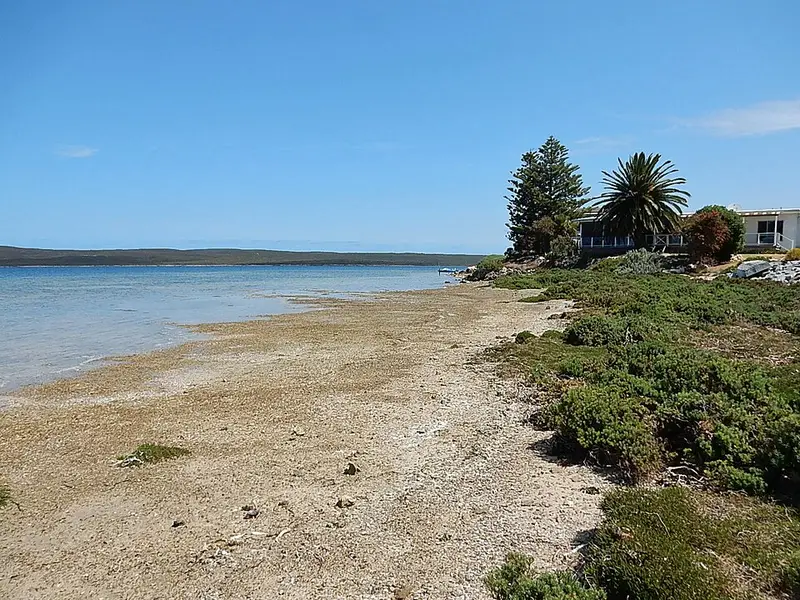
This is part of the Investigator Trail's link between Lincoln National Park and Port Lincoln. It starts near the park's main entrance and Sleaford Mere, passes the small settlement of Tulka and heads north east along the Proper Bay side of the peninsula towards the southern edge of Port Lincoln, near Investigator Road and Proper Bay Road.
How it fits the longer trail
The Investigator Trail is named after HMS Investigator, the ship Matthew Flinders commanded while charting this coast in 1802. Its core is a figure eight of about 89 kilometres inside Lincoln National Park. The trail continues north outside the park for another 31 kilometres via Tulka and Port Lincoln to North Shields, and the part through town is called the Parnkalla Trail. The stretch between Billy Lights Point, at the southern end of the Parnkalla Trail's sealed path, and the park is about 15 kilometres, more natural and less well marked than the sealed path through town. This section covers the southern 7 kilometres or so of that link, ending short of Billy Lights Point.
What it is like
The walking is on natural surfaces, and the northern end reaches the houses on the southern edge of Port Lincoln. Because this stretch is less well marked than the town section, carry a map or a track file, and bring your own water: there is none in the national park ahead either.
Getting there
Proper Bay Road runs from Port Lincoln past Tulka to the national park, so you can start at either end. The park entrance is 13 kilometres south west of Port Lincoln. If you continue into Lincoln National Park, vehicle entry is $14.40 and campsites must be booked before you arrive; dogs are not allowed in the park.
Before you go
This section is outside the national park, so park alerts do not cover it. For park conditions on the sections that follow, check the Lincoln National Park page and the SA parks closures and alerts page. The Port Lincoln Visitor Information Centre, 60 Tasman Terrace, phone 1300 788 378, can help with maps and local conditions.
Elevation
- Climb
- 20 m
- Descent
- 20 m
- Highest
- 18 m
- Lowest
- 4 m
Approximate, from a 30 m terrain model, so it can overstate the climb on cliff edge tracks.
Before you go
Tell your people where you are going
Set your route and return time in FriendsFindMe. If you do not check in, the people you trust are sent a text so they know to come looking for you.
Walk data: Recreation Trails © Crown in right of the State of South Australia (Department for Environment and Water), CC BY 4.0