
About this walk
This is the climb from Condominium Creek on Scotts Peak Road up past High Camp and over Mount Eliza to the Eliza Plateau, below Mount Anne in Southwest National Park. It is the first stage of the Mount Anne Circuit, and it takes in the Eliza Plateau day walk. This walk is shown from the plateau end down to the car park, but circuit walkers should travel in one direction starting at Condominium Creek, so on the ground you walk it uphill. Section 1 continues from the plateau past Shelf Camp, Mount Lot and Lonely Tarns to the Lake Judd Track.
Mount Anne, at 1,423 metres, is the highest peak in Southwest National Park, and Mount Eliza beside it reaches about 1,289 metres. George Frankland named Mount Anne in 1835 after his wife.
What it is like
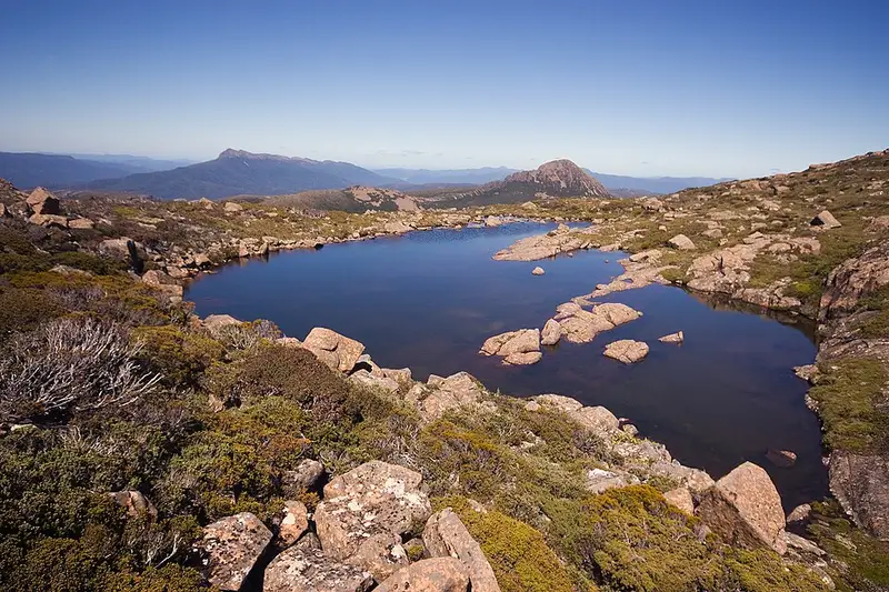
The climb from Condominium Creek to High Camp is steep and challenging, gaining about 900 metres. The track is well defined, and because the plants along it grow low you have views most of the way up, but you also have little shelter. High Camp Hut sits on a short side track just below the plateau. It is an emergency day shelter only, with a toilet, a water tank (boil before drinking) and tent sites about 150 metres to the west. Above the hut you clamber up a field of large boulders to Mount Eliza and onto the plateau, where cushion plants and pandani grow and you look out over the Eastern and Western Arthur Ranges and down to Lake Judd. Beyond Mount Eliza the route crosses more boulder fields west of Eve Peak to the junction for the Mount Anne summit, which needs scrambling with significant exposure.
As a day walk, the Eliza Plateau is 11 kilometres and 6 to 7 hours return, Grade 4. Day walkers going to Mount Eliza or Mount Anne do not need to register; overnight circuit walkers do.
Getting there
Turn south off the Gordon River Road at Frodshams Pass onto Scotts Peak Road and drive 20 kilometres to the Condominium Creek car park, which has toilets. There is no fuel past Maydena, phone reception is unreliable, and you need a valid Tasmanian national parks pass. Wind, sleet and snow can arrive in any month. Read the Eliza Plateau page, the Mount Anne Circuit walk notes and the Parks and Wildlife Service alerts page before you go.
Elevation
- Climb
- 120 m
- Descent
- 1,000 m
- Highest
- 1,298 m
- Lowest
- 337 m
Approximate, from a 30 m terrain model, so it can overstate the climb on cliff edge tracks.
Before you go
Tell your people where you are going
Set your route and return time in FriendsFindMe. If you do not check in, the people you trust are sent a text so they know to come looking for you.
Park and state forest boundaries: CAPAD 2024 © Commonwealth of Australia (DCCEEW), CC BY 4.0; © Forestry Corporation of NSW, CC BY 3.0 AU; © State of Queensland, CC BY 4.0; © State of Victoria (DEECA), CC BY 4.0
Walk data: LIST Transport Segments from theLIST © State of Tasmania, CC BY 3.0 AU