
About this walk
This section of the Rasselas Track is the main part of the walk to Lake Rhona in Franklin-Gordon Wild Rivers National Park. This walk starts on the west bank of the Gordon River and runs through the Vale of Rasselas to Lake Rhona, under the Denison Range. Section 1 covers the older southern approach from the Adamsfield Track.
The Lake Rhona walk is 28 kilometres return over 2 to 3 days, Grade 4: bushwalking experience recommended, on track that can be long, rough and very steep, with limited signs. You must register before you go, through the Parks walk registration page.
The route
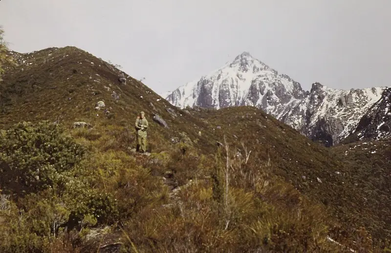
From the Richea Creek car park a fairly gentle path reaches the Gordon River in under an hour. When the river is low you wade about 50 metres across, which is where this section begins. The river is the last major source of fresh water before the lake. Beyond it the track crosses very muddy buttongrass and dry eucalypt forest, then climbs steeply for about 2 kilometres, exposed but with views, to Lake Rhona, which sits about 300 metres above the valley floor. Allow 5 to 7 hours from the car park to the lake. The lake has tannin stained water, pink quartzite sand and King Billy pines nearby.
The Vale of Rasselas was home to Ernie Bond, an osmiridium miner who ran a farm called Gordonvale there from 1934 until 1952 and hosted hundreds of passing walkers. Gordonvale became a Tasmanian Land Conservancy reserve in 2013.
Camping
Campsites are on flats behind the dunes, with some tent sites beside the track on the valley floor, and there is a toilet. It is a fuel stove only area.
The Gordon River
The Gordon can rise quickly after rain or snow, and walkers have been trapped. Check the forecast for your return day too, carry spare food, and if you must wait, camp on the buttongrass well back from the river, because the forest floor floods with little warning. Phone the Mount Field Visitor Centre on (03) 6288 1149 for river advice.
Getting there
Drive to Maydena, take Florentine Road, then Tiger Road, Range Road, Terry Walsh Road and the G03 Spur Road to Richea Creek car park, all unsealed. Carry the TASMAP 1:50,000 Denison Range map. Check the Lake Rhona page and Parks alerts before you go.
Elevation
- Climb
- 540 m
- Descent
- 110 m
- Highest
- 910 m
- Lowest
- 455 m
Approximate, from a 30 m terrain model, so it can overstate the climb on cliff edge tracks.
Before you go
Tell your people where you are going
Set your route and return time in FriendsFindMe. If you do not check in, the people you trust are sent a text so they know to come looking for you.
Park and state forest boundaries: CAPAD 2024 © Commonwealth of Australia (DCCEEW), CC BY 4.0; © Forestry Corporation of NSW, CC BY 3.0 AU; © State of Queensland, CC BY 4.0; © State of Victoria (DEECA), CC BY 4.0
Walk data: LIST Transport Segments from theLIST © State of Tasmania, CC BY 3.0 AU