
About this walk
The Tasman Coastal Trail runs along the sea cliffs of Tasman National Park on the Tasman Peninsula, from Devils Kitchen near Eaglehawk Neck south to Fortescue Bay. This walk follows that route from north to south. It is 19 kilometres and 8 hours one way, Grade 4, which means bushwalking experience is recommended and the track may be long, rough and very steep with limited signage. You can walk it in either direction.
The route
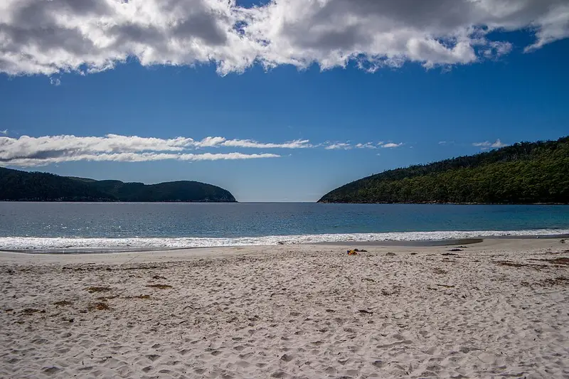
From Devils Kitchen the trail heads past Waterfall Bay, where a lookout faces a waterfall that drops over sheer cliffs into the sea and runs hardest after rain. The cliffs along this coast have arches and gulches cut through layers of sedimentary rock by the waves. Further south the trail passes through heath and forest and rises to near Tatnells Hill, which at 571 metres is the highest point on the Tasman Peninsula, with cliff top views towards Cape Hauy. You can swim at Bivouac Bay, Canoe Bay or Fortescue Bay, so bring a mask and snorkel. From Fortescue Bay a 4 hour return walk to Cape Hauy follows part of the last day of the Three Capes Track.
The sea cliffs are sheer and unfenced. Some walkers break the trip with a night at Bivouac Bay or Camp Falls. The park is a fuel stove only area, except for the designated fireplaces at the Fortescue Bay campgrounds.
Getting there
Tasman National Park is about 90 minutes from Hobart on sealed roads, via Sorell and the Arthur Highway. For the northern end, turn onto Blowhole Road (C338) after Eaglehawk Neck and drive to its end at Devils Kitchen; the road is unsealed and parking is limited. You can shorten the walk by starting at Waterfall Bay, reached by an unsealed road off Blowhole Road. For Fortescue Bay, continue on the Arthur Highway to the C344 and follow 12 kilometres of unsealed road, suitable for two wheel drive vehicles. There is no public transport, so you need a car shuffle.
Facilities
Fortescue Bay has two campgrounds, Banksia and Mill Creek, with tank water (boil it for 3 minutes), barbecues, showers at Banksia and a site office selling basic supplies. Campsites must be booked in the busy season from October to April. The nearest toilets to the northern end are at the Blowhole. You need a valid Tasmanian national parks pass. Read the Tasman Coastal Trail page and the Fortescue Bay campground page, and check the Parks and Wildlife Service alerts page before you go.
Elevation
- Climb
- 850 m
- Descent
- 890 m
- Highest
- 541 m
- Lowest
- 3 m
Approximate, from a 30 m terrain model, so it can overstate the climb on cliff edge tracks.
Before you go
Tell your people where you are going
Set your route and return time in FriendsFindMe. If you do not check in, the people you trust are sent a text so they know to come looking for you.
Park and state forest boundaries: CAPAD 2024 © Commonwealth of Australia (DCCEEW), CC BY 4.0; © Forestry Corporation of NSW, CC BY 3.0 AU; © State of Queensland, CC BY 4.0; © State of Victoria (DEECA), CC BY 4.0
Walk data: LIST Transport Segments from theLIST © State of Tasmania, CC BY 3.0 AU