
About this walk
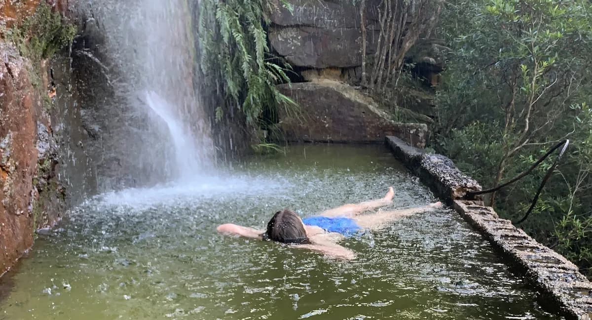
A beautiful walk down to the old water tanks once used to fill the steam trains. Today you can swim in them, with a waterfall pouring down on top of you. Go in the morning, when the sun is on the east face, for a more pleasant swim.
The baths are a bit hard to find, so follow the steps below closely and keep the map handy to check you are on the right track.
Warning: do not bring children or irresponsible adults.
Directions
- Start by heading off along the Tunnel Trail: -33.48118,151.29511 (Google Maps)
- Turn left at the Mullet Creek Fire Trail and follow the power lines along it: -33.491408, 151.283050 (Google Maps)
- At the end of the fire trail, head right until you reach the creek (about 10m in): -33.493696, 151.288466 (Google Maps)
- Head left down the creek to its end, where it drops off over the waterfall into Woy Woy Baths. There is a path on the right of the creek, so you should not get too wet: -33.493938, 151.288430 (Google Maps)
- At the edge of the drop off there is a path to the right. Follow it for about 120m, then it zigzags back down towards the falls: -33.493983, 151.288768 (Google Maps)
- Turn left downhill towards the falls. It can be a bit of a scramble in places, with some mud: -33.494787, 151.288944 (Google Maps)
- You have reached Woy Woy Baths, so enjoy a swim. Take great care walking along the ledge and climbing into the baths, and in the baths too, as there may be sharp objects in the sand: -33.493909, 151.289085 (Google Maps)
What does Woy Woy mean?
Woy Woy is a local Aboriginal word meaning "the big lagoon", perhaps because of the large body of water around it.
Elevation
- Climb
- 30 m
- Descent
- 80 m
- Highest
- 142 m
- Lowest
- 83 m
Approximate, from a 30 m terrain model, so it can overstate the climb on cliff edge tracks.
Before you go
Tell your people where you are going
Set your route and return time in FriendsFindMe. If you do not check in, the people you trust are sent a text so they know to come looking for you.

The book
15 waterfall walks in the book
A Cornucopia of Central Coast Walks has a waterfall section with 15 walks, including Somersby Falls, Gap Creek Falls, Strickland Falls and Kariong Brook Falls. Each one has a map and numbered directions, alongside over 100 other walks on the Coast.
See the book