
About this walk
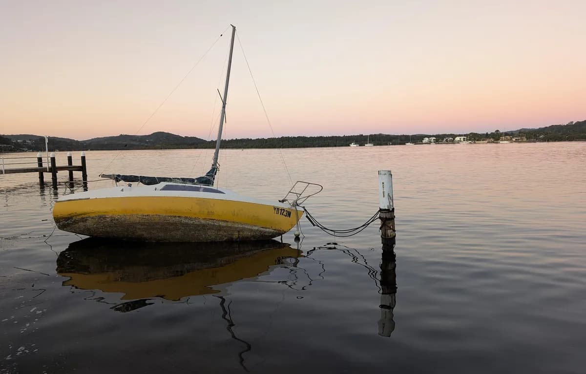
A great pram walk along the formed path, with still, reflective water scenes. For an accessible version, simply turn back where the formed path ends. It is a lovely walk at night too, when you can watch the moon reflected in the water.
Directions
- Start at Lions Park in Woy Woy: -33.48499, 151.33645 (Google Maps)
- Keep going straight where the formed path ends, and continue along the grassy waterfront: -33.500478, 151.331531 (Google Maps)
- Turn left up the hill in the carpark until you reach the road (very steep): -33.501999, 151.336273 (Google Maps)
- Cross the road and walk up the hill past the gate: -33.502375, 151.336117 (Google Maps)
- Turn right up the hill: -33.505519, 151.334025 (Google Maps)
- You have reached the top of Blackwall Mountain. Head back down the hill: -33.507139, 151.336166 (Google Maps)
What does Woy Woy mean?
Woy Woy is a local Aboriginal word meaning "the big lagoon", perhaps because of the large body of water around it.
Elevation
- Climb
- 130 m
- Descent
- 40 m
- Highest
- 112 m
- Lowest
- 0 m
Approximate, from a 30 m terrain model, so it can overstate the climb on cliff edge tracks.
Before you go
Tell your people where you are going
Set your route and return time in FriendsFindMe. If you do not check in, the people you trust are sent a text so they know to come looking for you.

The book
12 pram and wheelchair friendly walks in the book
A Cornucopia of Central Coast Walks lists 12 accessible walks, including the Tuggerah Lake Walk, the Kincumber waterfront, Norah Head Lighthouse and the Bulgandry engravings, each with a map and the climb up and down.
See the book