
About this walk
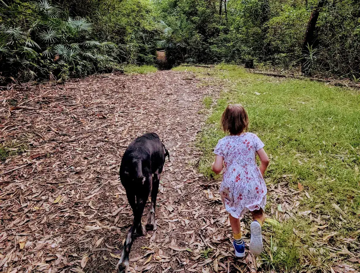
A beautiful, easy bushwalk made for dogs and their humans. It is mostly flat and follows a quiet creek through leafy bushland, and with little bridges, shady trees and the sound of running water it feels peaceful and just a little bit magical.
It is dog friendly, with a dog waste bin at the start of the track and enough room to wander on leash without too many distractions, which makes it a good daily dog walk or a relaxed bush stroll with kids. Even though it is close to town, it feels like a hidden trail once you step off the road, and locals love it for its simplicity, calm and easy access.
Directions
- Start on Warrawilla Road: -33.407238, 151.364467 (Google Maps)
- Walk to Jarrett Street and turn left: -33.40675655887017, 151.3547974899058 (Google Maps)
- Walk past the creek and one house, then go down the path between the two houses: -33.40741158110612, 151.35369474375022 (Google Maps)
Elevation
- Climb
- 30 m
- Descent
- 20 m
- Highest
- 24 m
- Lowest
- 8 m
Approximate, from a 30 m terrain model, so it can overstate the climb on cliff edge tracks.
Before you go
Tell your people where you are going
Set your route and return time in FriendsFindMe. If you do not check in, the people you trust are sent a text so they know to come looking for you.

The book
33 dog walks in the book
A Cornucopia of Central Coast Walks has a dog section with 33 walks your dog can come on, from the beaches at Forresters, Pearl Beach and Patonga to the trails at Strickland and Mt Alison. Each one has a map and numbered directions.
See the book