
About this walk
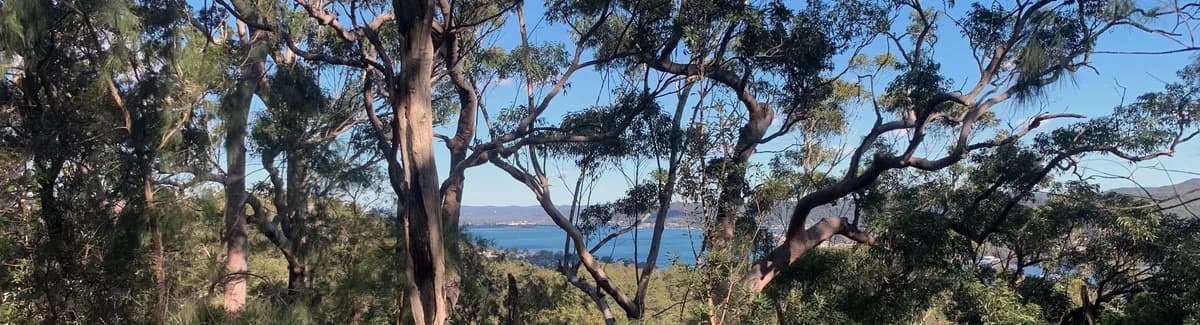
This walk is laid out to show off the Rumbalara Ridgeline, with time to explore some of its amazing rock outcrops and patches of rainforest. You can also do it as a car shuffle (leave one car at the finish and drive to the start in the other) between Plateau Road and Jarrett Street. If the weather has the leeches or mosquitoes out, you can skip the beautiful rainforest track on the southern side and cut back across the road at the top.
Directions
- Start at the end of Jarrett Street: -33.42073560540555, 151.35053269845093 (Google Maps)
- Turn left up the steps: -33.423150, 151.346535 (Google Maps)
- Turn right: -33.423651, 151.349212 (Google Maps)
- Turn right again to stay on the Flannel Flower Track: -33.423777, 151.349925 (Google Maps)
- Turn left to stay on the Flannel Flower Track: -33.425411, 151.350473 (Google Maps)
- Turn right again to stay on the Flannel Flower Track: -33.425156, 151.350719 (Google Maps)
- Turn left up the hill: -33.42704495578741, 151.3534498214722 (Google Maps)
- Cross the road and walk along it until you reach the path: -33.424869068346304, 151.35556340217593 (Google Maps)
- Veer right to stay on the path: -33.42334681014067, 151.3560140132904 (Google Maps)
- Veer left to stay on the Mouat Walk: -33.423387, 151.360762 (Google Maps)
- Turn left: -33.418296, 151.367456 (Google Maps)
- Turn left onto the ridgeline towards Plateau Road: -33.417593, 151.368197 (Google Maps)
- Come out at the end of Plateau Road and follow it: -33.41525905492398, 151.36032324495332 (Google Maps)
- Turn left onto North Crescent: -33.414737, 151.355563 (Google Maps)
- Turn left onto Blanche Street: -33.415065, 151.353354 (Google Maps)
- Turn right onto Bradys Gully Road and keep going straight into Dwyer Street: -33.415986, 151.353131 (Google Maps)
- Turn left down Jarrett Street and follow it to the end, back at the start: -33.416097, 151.351367 (Google Maps)
Elevation
- Climb
- 260 m
- Descent
- 270 m
- Highest
- 165 m
- Lowest
- 15 m
Approximate, from a 30 m terrain model, so it can overstate the climb on cliff edge tracks.
Before you go
Tell your people where you are going
Set your route and return time in FriendsFindMe. If you do not check in, the people you trust are sent a text so they know to come looking for you.

The book
Over 100 Central Coast walks in one book
A Cornucopia of Central Coast Walks is my book of the walks on the Coast, for keeping in the car. Each walk has a map, the distance and climb, and numbered directions from the start point, with a wildflower guide at the back.
See the book