
About this walk
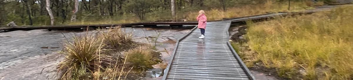
One of my favourite short bushwalks on the coast. I highly recommend going late in the afternoon, near sunset, in that golden light, when the engravings look their best. The walk is accessible, so you can bring a grandparent or a pram. The bush is beautiful, with scribbly gums and wildflowers.
Directions
- Start at the driveway in, which has just been upgraded: -33.456915358985725, 151.28505885601047 (Google Maps)
- The walk starts at the end of the carpark: -33.455993393396426, 151.28447413444522 (Google Maps)
- You've reached the beautiful Bulgandry Aboriginal engravings: -33.4537108150508, 151.28594398498538 (Google Maps)
What does Kariong mean?
Kariong is a local Aboriginal word meaning "a meeting place", which is why there are so many Aboriginal engravings in Kariong.
Elevation
- Climb
- 0 m
- Descent
- 0 m
- Highest
- 200 m
- Lowest
- 190 m
Approximate, from a 30 m terrain model, so it can overstate the climb on cliff edge tracks.
Before you go
Tell your people where you are going
Set your route and return time in FriendsFindMe. If you do not check in, the people you trust are sent a text so they know to come looking for you.

The book
12 pram and wheelchair friendly walks in the book
A Cornucopia of Central Coast Walks lists 12 accessible walks, including the Tuggerah Lake Walk, the Kincumber waterfront, Norah Head Lighthouse and the Bulgandry engravings, each with a map and the climb up and down.
See the bookThe original walk notes and photos on Good Architect
Park and state forest boundaries: CAPAD 2024 © Commonwealth of Australia (DCCEEW), CC BY 4.0; © Forestry Corporation of NSW, CC BY 3.0 AU; © State of Queensland, CC BY 4.0; © State of Victoria (DEECA), CC BY 4.0