
About this walk
There is a fair bit of climbing on this one, so it makes good training. The adobe hut at the top is worth a look, and so is the cave. Up top there is a lovely grassy picnic area with toilets, and you can also drive up there. Plenty of bike trails run along the top that do not show up on maps.
Directions
- Start at the end of Kincumber Street, where Island View Drive begins, and take the steps to the left of the car turning bay: -33.465445, 151.379196 (Google Maps)
- Cross the road and pick up the path on the other side: -33.461262, 151.385503 (Google Maps)
- Cross the road and head right to the picnic area. Have a look at the adobe kiosk and the rock platform, and use the toilet there if you need it: -33.459729, 151.390947 (Google Maps)
- Cross the road and take the Kanning walk past the cave and rock formations. When you come back out to the road, keep left onto the Yanning trail: -33.458676, 151.392446 (Google Maps)
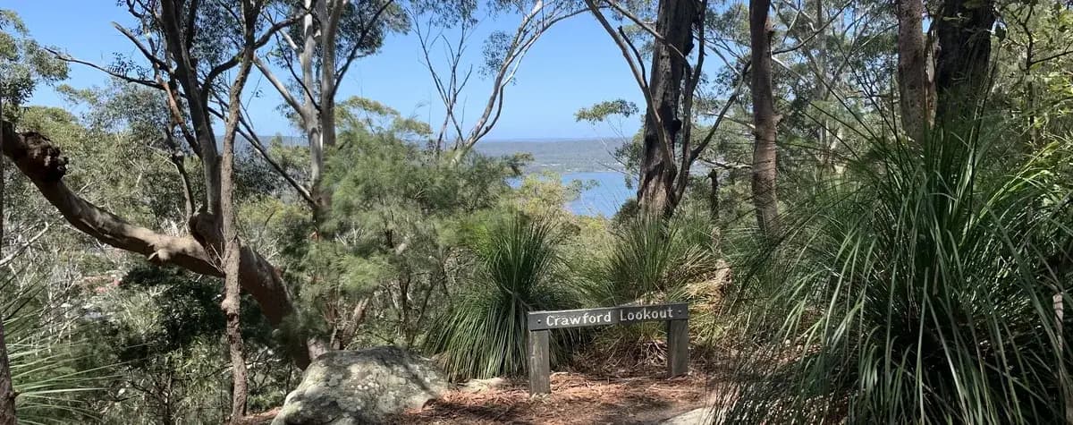
- You've reached the lookout. Have some lunch here before heading back: -33.450772, 151.403991 (Google Maps)
- Head back along the Yalinga trail. Turn right at the spot where a sign is missing, then follow the bike track along the ridgeline, keeping left: -33.452777, 151.400367 (Google Maps)
- Turn left: -33.456847, 151.393272 (Google Maps)
- Turn right back to the picnic area, then return down the path you came up: -33.457762, 151.392754 (Google Maps)
What does Kincumber mean?
Kincumber is a local Aboriginal word meaning "the direction of the rising sun", possibly because Kincumber Mountain runs from west to east.
Elevation
- Climb
- 190 m
- Descent
- 60 m
- Highest
- 197 m
- Lowest
- 51 m
Approximate, from a 30 m terrain model, so it can overstate the climb on cliff edge tracks.
Before you go
Tell your people where you are going
Set your route and return time in FriendsFindMe. If you do not check in, the people you trust are sent a text so they know to come looking for you.

The book
The cave walks are in the book
A Cornucopia of Central Coast Walks includes the Megacave Loop and both the short and long walks to Ritcher's Cave, each with a map and numbered directions, alongside over 100 other walks on the Coast.
See the book