
About this walk
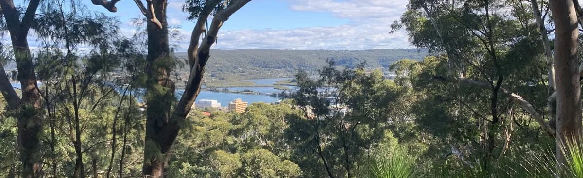
This traverse follows the ridgeline between Gosford and Lisarow and has some beautiful lookouts. Every time I'm in Rumbalara I'm struck by how beautiful it is, and I've spotted echidnas, wallabies and diamond pythons along here. Always an enjoyable walk.
Directions
- Start at Gosford Station: -33.423848, 151.3419914 (Google Maps)
- Turn left at Donnison Street: -33.426946, 151.341884 (Google Maps)
- Start up at the base of Rumbalara: -33.427623, 151.347774 (Google Maps)
- Turn right: -33.42309,151.34649 (Google Maps)
- Cross the road and continue on the path on the other side: -33.42374,151.35025 (Google Maps)
- Turn right along the fire trail: -33.42407,151.35186 (Google Maps)
- Turn left down the hill: -33.42451,151.35559 (Google Maps)
- Turn right back up the hill: -33.42334,151.35600 (Google Maps)
- Turn left along the Muat Walk: -33.42339158282182, 151.36076152324677 (Google Maps)
- Take time to enjoy the beautiful St John's Lookout and picnic area. Leave the picnic area along Atkinson Road and keep going up, even when it turns into a fire trail: -33.406170306533404, 151.39008879661563 (Google Maps)
- Go straight down the fire trail (Barduk Road), heading north down the hill: -33.39855710967195, 151.37894153594974 (Google Maps)
- Turn left along the Ridgeway: -33.386195, 151.37503623 (Google Maps)
- You've reached the end at Lisarow Station: -33.382540, 151.369972 (Google Maps)
Elevation
- Climb
- 390 m
- Descent
- 480 m
- Highest
- 212 m
- Lowest
- 28 m
Approximate, from a 30 m terrain model, so it can overstate the climb on cliff edge tracks.
Before you go
Tell your people where you are going
Set your route and return time in FriendsFindMe. If you do not check in, the people you trust are sent a text so they know to come looking for you.

The book
The cave walks are in the book
A Cornucopia of Central Coast Walks includes the Megacave Loop and both the short and long walks to Ritcher's Cave, each with a map and numbered directions, alongside over 100 other walks on the Coast.
See the book