
About this walk
The Giles Track crosses the top of the George Gill Range in Watarrka National Park, between Kathleen Springs and Kings Canyon, about 450 km south west of Alice Springs. It is 22 km one way, Grade 4 (moderate to difficult), for experienced walkers able to carry their own food, water and sleeping gear in a remote area, and is best done as an overnight walk. It runs from Kathleen Springs in the south east to Kings Canyon in the north west, and can be walked either way.
The route
The track is named for Ernest Giles, the first European to explore the range, in 1872. It breaks into stages: Kathleen Springs to Wanga Creek (4 km), on to Hill Mulga Creek (3.5 km), then to the junction with the Tjintjit Tjintjit Spur (3.4 km), which leads down to the Lilla car park, the halfway entry and exit point. From the junction it is 3.5 km to the Reedy Creek campground, 1 km to Reedy Creek itself, 3 km to Watarrka Lookout and 4 km to Kings Canyon. Allow about 7 hours of walking in total for someone of average fitness with an overnight pack. You can also do a day walk from Lilla along the Tjintjit Tjintjit Spur in either direction.
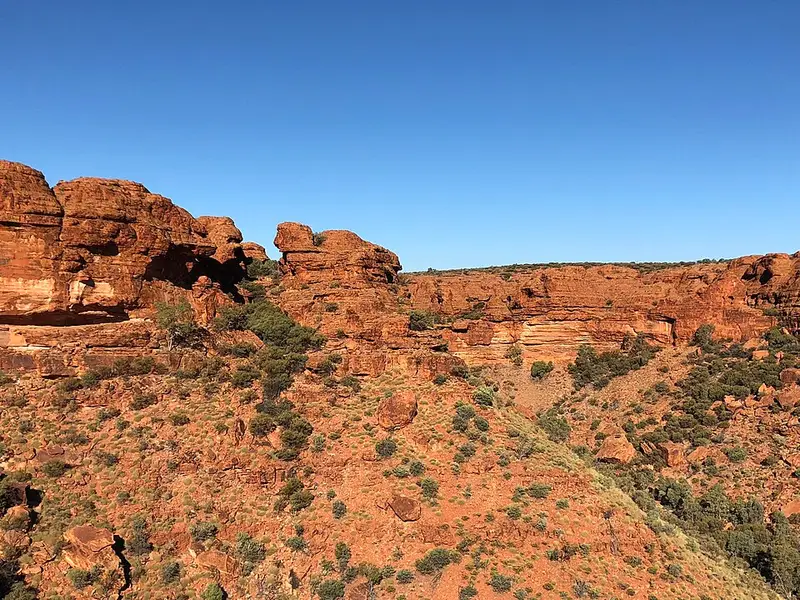
The country is rocky sandstone plateau cut by creeks that run north to south, with spinifex, mallee, hill mulga in the rock crevices, and river red gums and native pines in the creek beds. Kathleen Springs, at the eastern end, is a spring fed waterhole under cliffs and is sacred to Aboriginal people (no swimming). Orange arrows mark the track at short intervals; find the next marker before you leave the one you are at.
Water and camping
There is drinking water only at Kings Canyon and the Kathleen Springs trailhead, both of which also have car parks, toilets and picnic facilities. There is no water at Lilla, and creeks and rockholes are usually dry. Camping in the park is only for Giles Track walkers, anywhere between the 3 km and 20 km markers, with Reedy Creek the best spot. Camping fees apply and campsites must be booked online before you arrive. Take a gas stove: firewood collection and fires are not permitted.
Heat and safety
Do not walk the track in hot weather, generally November to March. When the forecast for Watarrka is 36°C or more, the Kings Canyon end closes at 11am and you cannot start from there after that. Winter nights can freeze, so carry warm clothes, a sleeping bag and shelter. There is no mobile reception: carry a satellite phone or personal locator beacon, walk in a group of at least three, sign the logbooks at Kings Canyon, Lilla and Kathleen Springs, and leave your plans with someone who will call police if you are late. Arrange transport between the two ends before you start; Kathleen Springs is 21 km by road from Kings Canyon.
Getting there
The Stuart Highway, Lasseter Highway and Luritja Road are sealed all the way and suit 2WD vehicles; Luritja Road also links the park to Yulara. The Mereenie Loop through the West MacDonnell Ranges and the Ernest Giles Road are recommended for 4WD only, and the Mereenie Loop needs a permit. Visitors to the Northern Territory need an NT Parks Visitor Pass; NT residents are exempt.
Before you go
Check whether the track is open and download the trail notes and map from the Giles Track page.
Elevation
- Climb
- 370 m
- Descent
- 410 m
- Highest
- 787 m
- Lowest
- 625 m
Approximate, from a 30 m terrain model, so it can overstate the climb on cliff edge tracks.
Before you go
Tell your people where you are going
Set your route and return time in FriendsFindMe. If you do not check in, the people you trust are sent a text so they know to come looking for you.
Park and state forest boundaries: CAPAD 2024 © Commonwealth of Australia (DCCEEW), CC BY 4.0; © Forestry Corporation of NSW, CC BY 3.0 AU; © State of Queensland, CC BY 4.0; © State of Victoria (DEECA), CC BY 4.0
Walk data: © OpenStreetMap contributors, ODbL