
About this walk
This is Section 11 of the Larapinta Trail, the stretch from the Finke River trailhead near Glen Helen west to Redbank Gorge in Tjoritja / West MacDonnell National Park. It is the second last of the trail's 12 sections. The whole Larapinta Trail runs about 231 km along the spine of the West MacDonnell Ranges, from the Alice Springs Telegraph Station to the summit of Mt Sonder, and Section 12 is the climb up that mountain from Redbank Gorge. Section 11 is 25.8 to 26.3 km and 9.5 hours, Grade 4, moderate to difficult. Allow 2 days to walk it comfortably.
The route
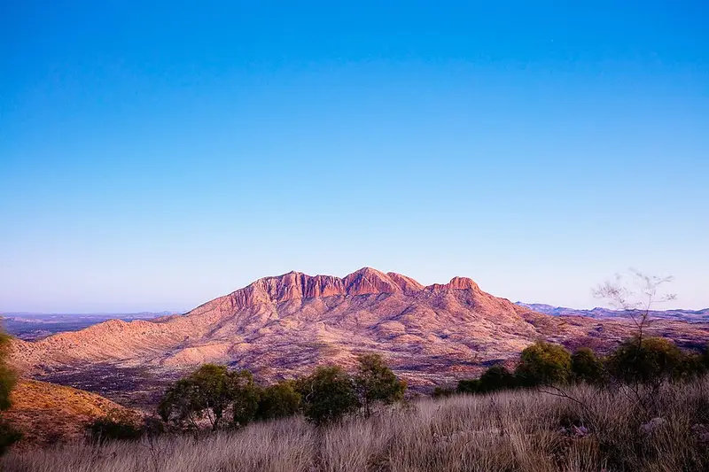
From the Finke River the trail crosses spinifex covered hills with Mt Sonder ahead of you, crosses the Davenport River and climbs to Hilltop Lookout. That climb is what earns the section its grade, and the lookout gives a broad view of Mt Sonder and the country around it. The trail then drops to Rocky Bar Gap, a shady gap at the foot of Mt Sonder, passes through it and follows the southern side of the mountain to Redbank Creek and the Redbank Gorge car park. The rest of the section, away from the lookout climb, is relatively easy walking.
The section breaks up like this: 0.8 km from the Finke River trailhead to the Glen Helen junction, 9.2 km (about 3 hours) on to Hilltop Lookout, 4.7 km (2 hours) to Rocky Bar Gap, then 11.1 km (4 hours) to Redbank Gorge. The times assume an average walker carrying an overnight pack of 15 to 20 kg.
Camping and water
There are designated campgrounds at Finke River, Hill Top Lookout, Rocky Bar Gap and Redbank Gorge (the Ridgetop and Woodland camping areas). Finke River has a toilet, campsite furniture and a ranger maintained water tank. Hilltop Lookout has no toilet and no water. Rocky Bar Gap has a toilet and a tank, and Redbank Gorge has tanks at the day use area and the campground, with free gas barbecues at the Woodland camping area. Rangers fill the tanks by 4WD, so use the water for drinking and cooking only, and treat it before you drink.
Walking and camping fees apply to overnight walks on the Larapinta Trail, and you must book and pay online before you start. A Parks Pass applies to visitors from outside the Territory. Fires are banned on the whole trail, so carry a fuel stove.
Getting there
There is no vehicle access to the Finke River trailhead. You reach it by walking in from Glen Helen (3.7 km, about an hour), which a conventional vehicle can reach. The Redbank Gorge end needs a high clearance vehicle on the last 5 km of unsealed road. The commercial services at Glen Helen (food, fuel, accommodation and camping) may be closed, so check before you count on buying anything there.
Before you go
The recommended walking season is April to September. Dangerous heat can still occur in those months, and winter nights can freeze. Walk with at least two others, carry a satellite phone or personal locator beacon rather than relying on a mobile, leave your plans with someone reliable, and sign the logbook at each trailhead. Check the Larapinta Trail current conditions page before you go, and read the sections of the Larapinta Trail page for the official section notes and map.
Elevation
- Climb
- 540 m
- Descent
- 480 m
- Highest
- 1,001 m
- Lowest
- 636 m
Approximate, from a 30 m terrain model, so it can overstate the climb on cliff edge tracks.
Before you go
Tell your people where you are going
Set your route and return time in FriendsFindMe. If you do not check in, the people you trust are sent a text so they know to come looking for you.
Park and state forest boundaries: CAPAD 2024 © Commonwealth of Australia (DCCEEW), CC BY 4.0; © Forestry Corporation of NSW, CC BY 3.0 AU; © State of Queensland, CC BY 4.0; © State of Victoria (DEECA), CC BY 4.0
Walk data: © OpenStreetMap contributors, ODbL