
About this walk
The Kananook Creek Walking Trail follows Kananook Creek north from its mouth beside Frankston Pier to Eel Race Road at Seaford, running parallel to the coast behind the dunes of Port Phillip Bay. The creek reserve is 7.5 km long, linking Frankston Foreshore with Seaford Wetlands.
The walk
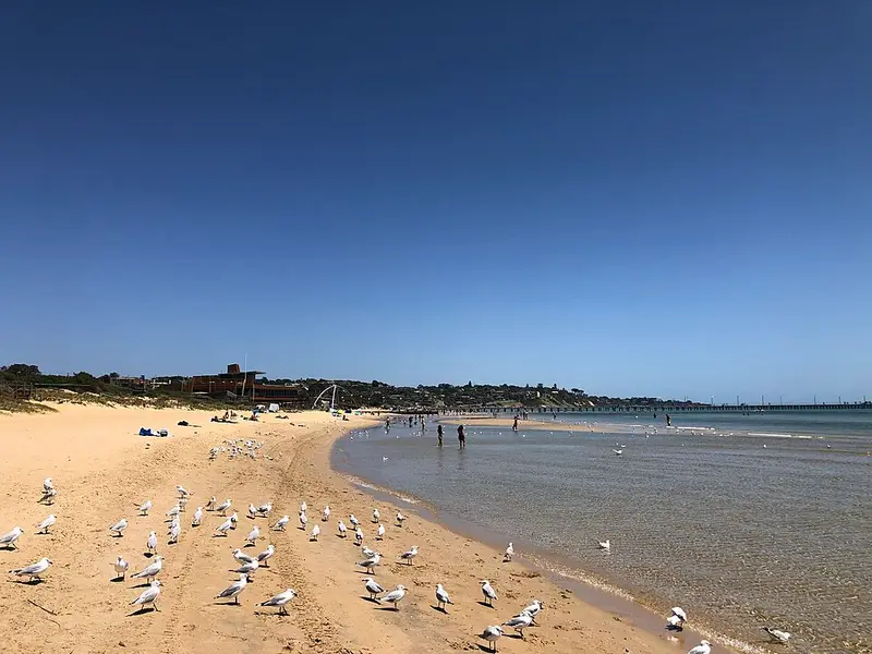
The trail sits in Kananook Creek Reserve, a strip of bush that follows an old dune system through suburban Frankston and Seaford. At the Frankston end it starts near the pier and the creek mouth among the waterfront paths and public art, then runs beside the creek past Wells Street and into native bush from Beach Street. Further north it passes Fiocchi Avenue, Long Island, Station Street and Riviera Street. The vegetation is coast banksia, sheoak and swamp gum over coast tea tree, with swamp paperbark on the low ground, and the reserve holds more than 200 indigenous plant species. Around 60 bird species have been recorded, including black ducks, white faced herons, cormorants and spoonbills, and brushtail possums come out in the evening. The creek was a reliable source of water and fish for the Bunurong people, who were skilled at catching eels.
Underfoot it is mostly sandy track, with gravel stretches and paved paths, especially at the Frankston end. Because the trail crosses many local streets you can join or leave it almost anywhere, and walk it in short pieces. A shorter option starts at Mile Bridge, where the Nepean Highway crosses the creek, giving about 5.7 km to Eel Race Road.
Getting there and back
There is parking at the Frankston foreshore, but no dedicated parking near Eel Race Road. Trains from Seaford or Carrum stations can take you back to Frankston, which makes a one way walk easy. Picnic tables are at Beach Street, Fiocchi Avenue, Long Island, Station Street and Riviera Street, and there are canoe launching points along the creek.
Extending the walk
At the northern end, Seaford Wetlands is about 1 km east and the Seaford foreshore about 500 metres west, and you can make a loop by returning south along the Seaford foreshore track. At the southern end, the Frankston foreshore boardwalk carries on along the coast.
Rules
Dogs are allowed on a lead and must stay on the constructed paths. Cats are not allowed in the reserve. See Frankston City Council's Kananook Creek Reserve page for the reserve and any notices before you go.
Elevation
- Climb
- 0 m
- Descent
- 0 m
- Highest
- 11 m
- Lowest
- 5 m
Approximate, from a 30 m terrain model, so it can overstate the climb on cliff edge tracks.
Before you go
Tell your people where you are going
Set your route and return time in FriendsFindMe. If you do not check in, the people you trust are sent a text so they know to come looking for you.
Walk data: © OpenStreetMap contributors, ODbL