
About this walk
The Mornington Peninsula Walk is a loop of about 100 km linking existing tracks across the peninsula, over ocean coast, bay beaches and bushland. It is one of the Great Trails Victoria routes. It starts near the McCrae Lighthouse, climbs over Arthurs Seat and through Greens Bush to Cape Schanck, follows the Bass Strait cliffs west to Point Nepean, and comes home along the Port Phillip shore through Portsea, Sorrento, Rye and Rosebud.
The route
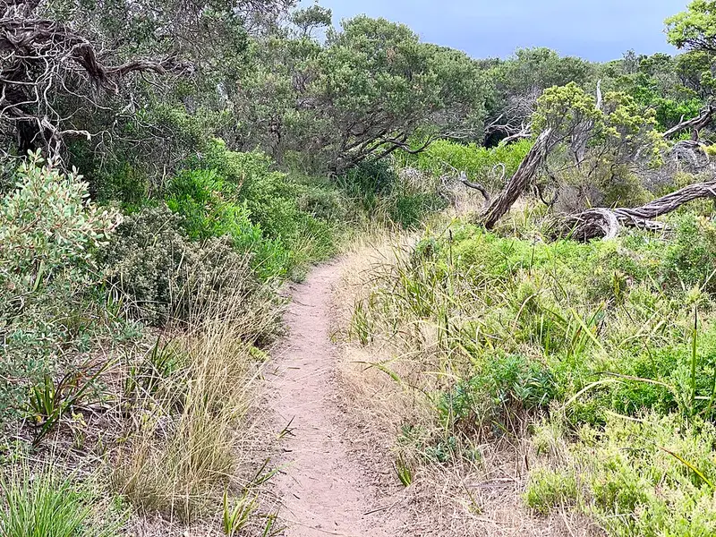
Most of the first leg follows the Two Bays Walking Trail, 26 km from Dromana to Cape Schanck and marked with a blue wren symbol. It has short steep gravel climbs around Arthurs Seat State Park, past Anthonys Nose and Mount Kerferd, then flatter going through Greens Bush, the largest remnant of bushland on the peninsula, with grass trees that may be over 200 years old, fern gullies and open grassland. Expect uneven ground, loose rock, roots, steps and bridges.
From the lighthouse at Cape Schanck the loop takes the Coastal Walk west along the ocean side of Mornington Peninsula National Park. This is 26 km from Cape Schanck to London Bridge, marked with a hooded plover symbol, past Fingal Beach, Gunners Cottage, Rye Back Beach, Spray Point, Diamond Bay, Coppins Lookout and Jubilee Point. Check tides before you set off. Beyond London Bridge the route enters Point Nepean National Park, with its military forts, tunnels and the Quarantine Station, and the memorial overlooking Cheviot Beach, where Prime Minister Harold Holt disappeared in 1967. The bay side of the loop passes the site of the Collins Settlement at Sorrento, the piers at Sorrento, Rye and Rosebud, and the historic Rye lime kilns.
Facilities
There are toilets, picnic tables and car parks at many points, and six drinking taps along the whole loop. Point Nepean has no drinking water beyond the Quarantine Station. Lightwood Creek camping area on the Two Bays Walking Trail, between Baldrys Crossing and Boneo Road, is walk in only, with five sites for up to 20 people, a pit toilet and tank water that should be boiled. No booking or fee is needed, but call 13 1963 first, as school groups can fill it. Fires are not permitted there.
Getting there
Dromana and Arthurs Seat are about 60 km south of Melbourne along the Mornington Peninsula Freeway. At Point Nepean, cars may enter between 6am and 6pm (8pm in daylight saving), and walkers can come and go at any time. Bus 788 runs to the Point Nepean park entrance at Portsea.
Rules and before you go
Dogs are not allowed anywhere in Mornington Peninsula National Park, including its beaches, car parks and Greens Bush. Carry water, as there are long stretches between taps. Check the Mornington Peninsula National Park walking page and the Point Nepean National Park page for current alerts before you go.
Elevation
- Climb
- 1,400 m
- Descent
- 1,400 m
- Highest
- 277 m
- Lowest
- 4 m
Approximate, from a 30 m terrain model, so it can overstate the climb on cliff edge tracks.
Before you go
Tell your people where you are going
Set your route and return time in FriendsFindMe. If you do not check in, the people you trust are sent a text so they know to come looking for you.
Park and state forest boundaries: CAPAD 2024 © Commonwealth of Australia (DCCEEW), CC BY 4.0; © Forestry Corporation of NSW, CC BY 3.0 AU; © State of Queensland, CC BY 4.0; © State of Victoria (DEECA), CC BY 4.0
Walk data: © State of Victoria (Department of Energy, Environment and Climate Action; Department of Jobs, Skills, Industry and Regions), CC BY 4.0