
About this walk
The Two Bays Walking Trail crosses the Mornington Peninsula from Port Phillip to Bass Strait, starting on the Dromana foreshore and finishing on the cliffs at Cape Schanck. It is 26 km and usually walked over two days, though fit walkers can do it in one long day and many people walk it a section at a time. This walk covers the whole trail, starting on Point Nepean Road at the western end of the Dromana foreshore, at the foot of Arthurs Seat. Look for the circular signs with a blue wren on them, which mark the route.
The sections
The trail splits into four sections:
- Dromana to Waterfall Gully Road, 5.8 km. The steepest and hardest part, climbing through Arthurs Seat State Park towards the summit. Seawinds Gardens nearby has lookouts, toilets, a playground and electric barbecues, and side trips lead to the summit and Kings Falls before the trail passes McLarens Dam.
- Waterfall Gully Road to Greens Bush, 5.2 km. Mostly on suburban streets, a bush reserve at Goolgowie Street and the narrow Gardens Road reserve, then gravel Hyslops Road into Mornington Peninsula National Park. Watch for trail symbols on street poles here.
- Greens Bush to Boneo Road, 9.9 km. Flat and shady, through mixed eucalypt forest, paperbarks and stands of grass trees, some more than 200 years old, with boardwalks and bridges. Further on the forest gives way to grassland cleared long ago for grazing, where eastern grey kangaroos rest.
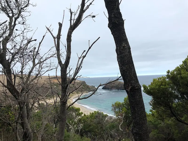
- Boneo Road to Cape Schanck, 5.2 km. Banksia woodland, steps down towards Bushrangers Bay, and clifftop walking over Bass Strait to the Cape Schanck car park.
Camping and water
Lightwood Creek Camping Area sits on the trail between Baldrys Crossing and Boneo Road, reached only on foot. It has 5 sites for up to 20 people, a pit toilet and tables. No bookings or fees are needed, but sites are limited and can be filled by school groups, so ring 13 1963 first. The tank water must be boiled before drinking and fires are not allowed. There are no drinking water taps anywhere on the trail, so carry all you need.
Before you go
Expect uneven ground, loose rock, steep gravel around Arthurs Seat, and fallen branches after wind. The trail is not suitable for wheelchairs or prams. Dogs, horses and motorbikes are not allowed in either park, and bikes are not allowed in Greens Bush. Swimming at Bushrangers Bay is hazardous. Check the Two Bays Walking Trail page for changed conditions and alerts before you go, and download the visitor guide there for the map.
Elevation
- Climb
- 690 m
- Descent
- 630 m
- Highest
- 276 m
- Lowest
- 19 m
Approximate, from a 30 m terrain model, so it can overstate the climb on cliff edge tracks.
Before you go
Tell your people where you are going
Set your route and return time in FriendsFindMe. If you do not check in, the people you trust are sent a text so they know to come looking for you.
Park and state forest boundaries: CAPAD 2024 © Commonwealth of Australia (DCCEEW), CC BY 4.0; © Forestry Corporation of NSW, CC BY 3.0 AU; © State of Queensland, CC BY 4.0; © State of Victoria (DEECA), CC BY 4.0
Walk data: © OpenStreetMap contributors, ODbL