
About this walk
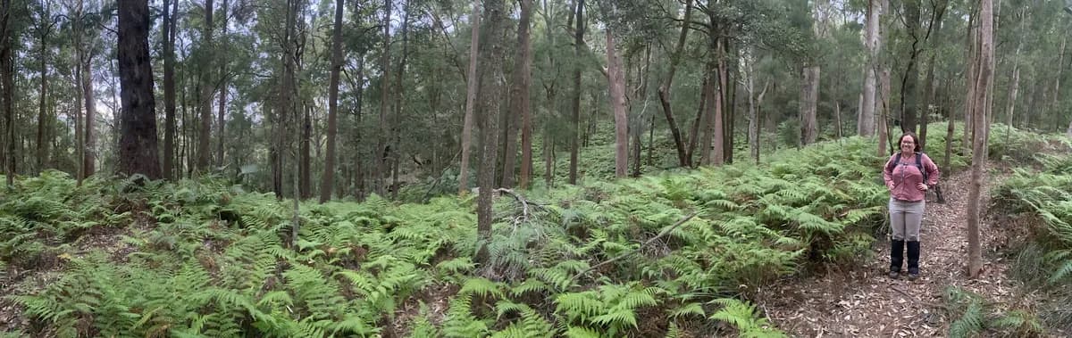
If you work in Gosford, this makes a great lunch time walk. There is a beautiful stretch of rainforest down the bottom, and up top you get stunning views over the water and the city.
Directions
- Start at the carpark at the end of Donnison Street. Go up the steps and turn left to walk through the rainforest: -33.427676, 151.347714 (Google Maps)
- Turn right: -33.423150, 151.346535 (Google Maps)
- Turn right, back downhill: -33.424008, 151.350190 (Google Maps)
- Turn right down the hill: -33.425222, 151.350634 (Google Maps)
- Turn right at the bottom of the stairs and keep going until you reach the stairs back down to the carpark: -33.429400, 151.34783 (Google Maps)
Elevation
- Climb
- 90 m
- Descent
- 90 m
- Highest
- 148 m
- Lowest
- 53 m
Approximate, from a 30 m terrain model, so it can overstate the climb on cliff edge tracks.
Before you go
Tell your people where you are going
Set your route and return time in FriendsFindMe. If you do not check in, the people you trust are sent a text so they know to come looking for you.

The book
39 public transport walks in the book
A Cornucopia of Central Coast Walks lists 39 walks you can reach by public transport, including 9 from a train station, such as Point Clare to Tascott, Gosford Station to Wyoming and Brooklyn to Woy Woy.
See the book