
About this walk
A short, gentle walk in Strickland State Forest above Narara, and one of the most quietly moving places on the Central Coast. After less than half a kilometre of flat, easy walking you come to a sandstone platform carved with Aboriginal engravings that have looked out over this country for thousands of years. The track in is small and easy to miss, which is part of its charm, so take your time and keep your eyes open.
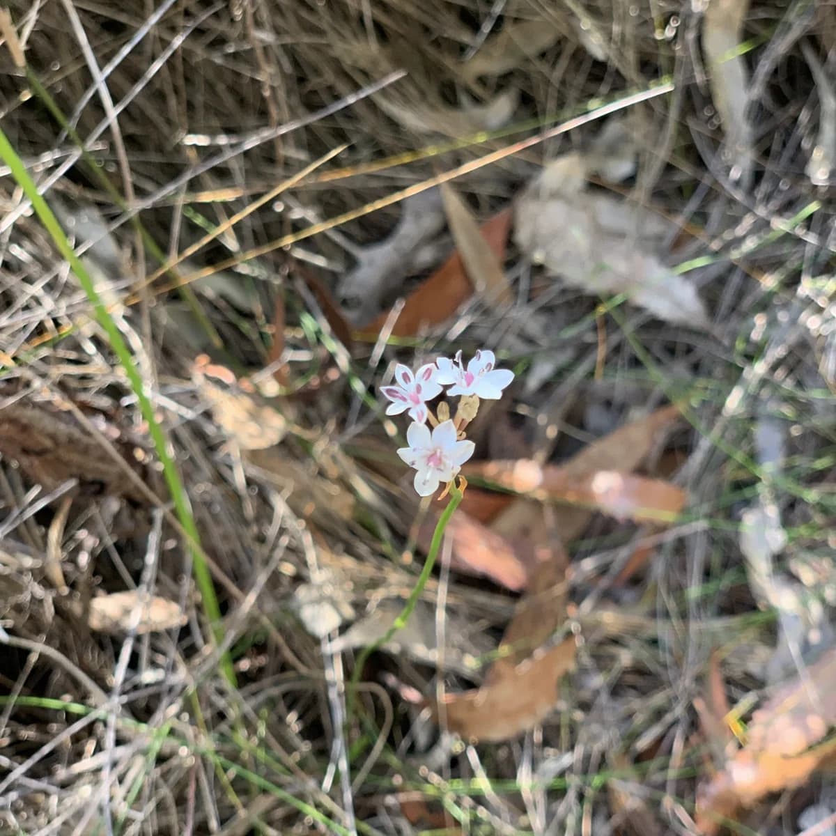
The forest is worth the trip on its own. In late winter and spring the understorey is full of banksia and protea, black cockatoos drift overhead, and the ridge smells of warm sandstone and eucalypt. It rewards a slow, respectful wander more than a rush to the end.
Please treat the engravings with the care they deserve. This is a living cultural site on Darkinjung Country. Look, sit with it and take photos, but never walk on the engravings, trace them or move anything. Leave the place exactly as you found it, for the next visitor and for the generations to come.
Directions
- Start on Maranoa Street: -33.37146215486437, 151.33400917053223 (Google Maps)
- Turn right along a very small track that is hard to find: -33.370946959869926, 151.33340835571292 (Google Maps)
- Turn left onto Rain Forest Road and head up the hill: -33.37193702754812, 151.3331776857376 (Google Maps)
- Turn left to a small lookout, then head back down the hill. There are two paths and both end up in the same place: -33.37239845795555, 151.3339447975159 (Google Maps)
The engravings
The Central Coast has one of the richest concentrations of Aboriginal rock art anywhere in Australia. The art of the Darkinjung people runs from the coast here to Wollemi National Park, about 90km to the west. The Strickland engravings are part of that story, carved into a rock platform above Narara Creek, and they are a particularly beautiful example. Standing beside them, you can feel how long people have lived with and cared for this place.
Elevation
- Climb
- 0 m
- Descent
- 0 m
- Highest
- 185 m
- Lowest
- 182 m
Approximate, from a 30 m terrain model, so it can overstate the climb on cliff edge tracks.
Before you go
Tell your people where you are going
Set your route and return time in FriendsFindMe. If you do not check in, the people you trust are sent a text so they know to come looking for you.

The book
Check the climb before you go
The walks in A Cornucopia of Central Coast Walks list the climb up and down, so you can find a flat one before you leave home. The book also lists 12 accessible walks and 12 easy short walks.
See the bookThe original walk notes and photos on Good Architect
Park and state forest boundaries: CAPAD 2024 © Commonwealth of Australia (DCCEEW), CC BY 4.0; © Forestry Corporation of NSW, CC BY 3.0 AU; © State of Queensland, CC BY 4.0; © State of Victoria (DEECA), CC BY 4.0