
About this walk
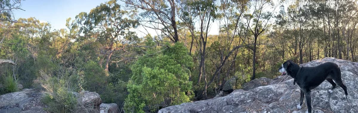
A lovely short walk in Strickland for when it has been raining a little and you want some forest calm without worrying too much about leeches, because this track sits a bit higher. They will turn up if it gets too wet, but you should be fine for a wet day or two before they do.
Directions
- Start at Banksia Picnic Area. At the end of the picnic area, head south (left) along the path: -33.3736528195072, 151.32291555404666 (Google Maps)
- Turn right back up the hill: -33.375570165777965, 151.32293701171878 (Google Maps)
- Turn right back up the hill to the carpark: -33.37321379502175, 151.32124185562137 (Google Maps)
Elevation
- Climb
- 70 m
- Descent
- 80 m
- Highest
- 161 m
- Lowest
- 85 m
Approximate, from a 30 m terrain model, so it can overstate the climb on cliff edge tracks.
Before you go
Tell your people where you are going
Set your route and return time in FriendsFindMe. If you do not check in, the people you trust are sent a text so they know to come looking for you.

The book
33 dog walks in the book
A Cornucopia of Central Coast Walks has a dog section with 33 walks your dog can come on, from the beaches at Forresters, Pearl Beach and Patonga to the trails at Strickland and Mt Alison. Each one has a map and numbered directions.
See the bookThe original walk notes and photos on Good Architect
Park and state forest boundaries: CAPAD 2024 © Commonwealth of Australia (DCCEEW), CC BY 4.0; © Forestry Corporation of NSW, CC BY 3.0 AU; © State of Queensland, CC BY 4.0; © State of Victoria (DEECA), CC BY 4.0