
About this walk
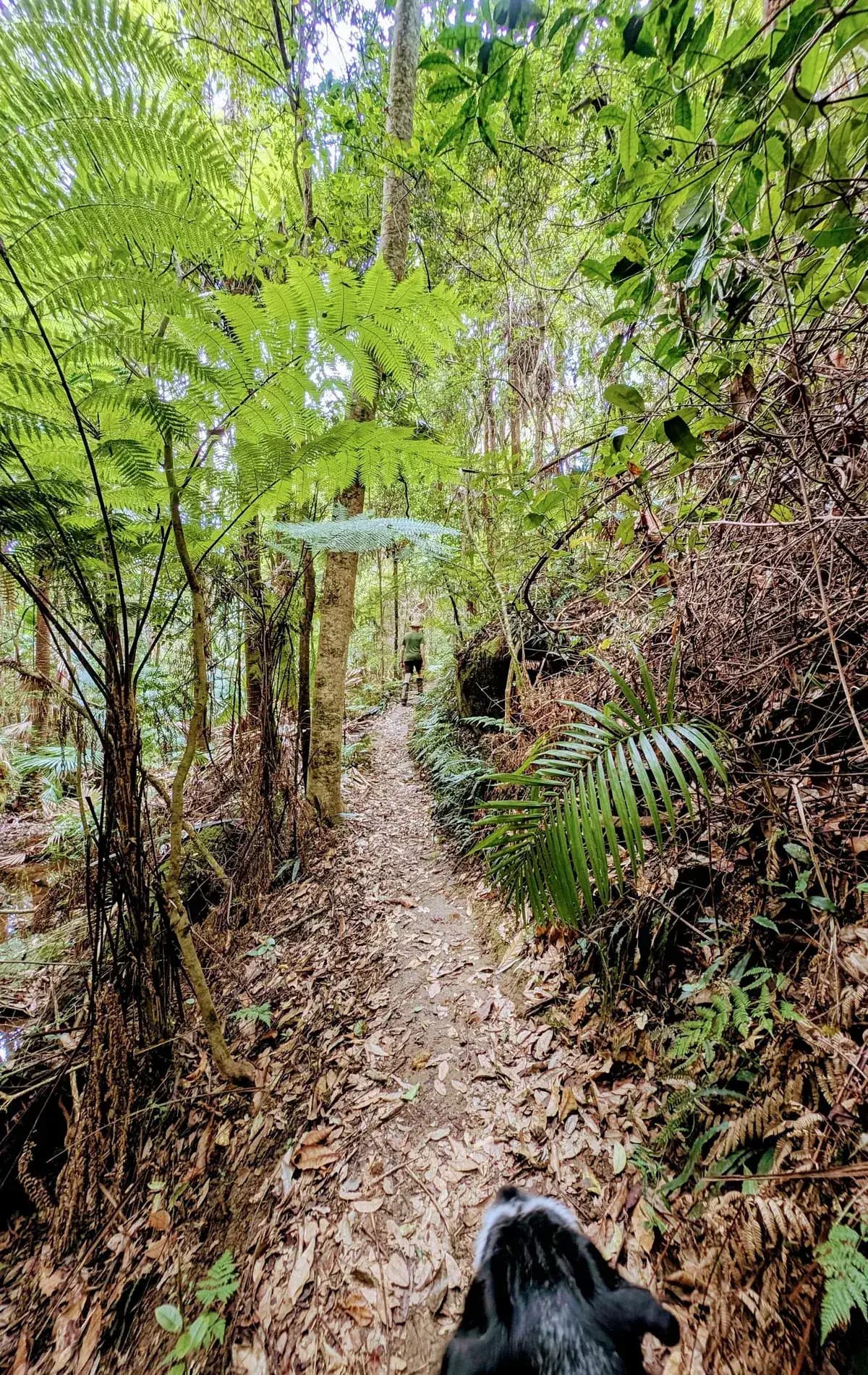
This is a rainforest walk, and it runs around 3 degrees cooler than the surrounding area, so it is perfect for a hot day. At step 5 you can carry on to the eco village for a coffee. Check the opening hours first on the Narara Eco Village Coffee Cart Google listing: when this was written they were 9am to 2pm, Tuesday to Saturday.
Strickland State Forest and the Arboretum loop are dog friendly and an off leash area.
If you start from Narara Ecovillage, this works as a roughly accessible walk, though it is still rough with tree roots and holes. Here is the start point at the ecovillage.
Directions
- Start at the very bottom of Strickland Forest Road: -33.379911, 151.324997 (Google Maps)
- Turn left and cross the small creek: -33.37988, 151.324128 (Google Maps)
- Turn left to add the Bellbird Trail to the loop, or go straight on for a shorter walk: -33.383436, 151.324793 (Google Maps)
- Turn left onto the Arboretum Trail: -33.384677, 151.324165 (Google Maps)
- Turn left down the hill. Or go straight ahead for a coffee at Narara Ecovillage, which is just past the gate, and come back afterwards: -33.388009, 151.3268156 (Google Maps)
- Turn right back towards the carpark: -33.384525, 151.324568 (Google Maps)
Elevation
- Climb
- 50 m
- Descent
- 50 m
- Highest
- 50 m
- Lowest
- 27 m
Approximate, from a 30 m terrain model, so it can overstate the climb on cliff edge tracks.
Before you go
Tell your people where you are going
Set your route and return time in FriendsFindMe. If you do not check in, the people you trust are sent a text so they know to come looking for you.

The book
33 dog walks in the book
A Cornucopia of Central Coast Walks has a dog section with 33 walks your dog can come on, from the beaches at Forresters, Pearl Beach and Patonga to the trails at Strickland and Mt Alison. Each one has a map and numbered directions.
See the bookThe original walk notes and photos on Good Architect
Park and state forest boundaries: CAPAD 2024 © Commonwealth of Australia (DCCEEW), CC BY 4.0; © Forestry Corporation of NSW, CC BY 3.0 AU; © State of Queensland, CC BY 4.0; © State of Victoria (DEECA), CC BY 4.0