
About this walk
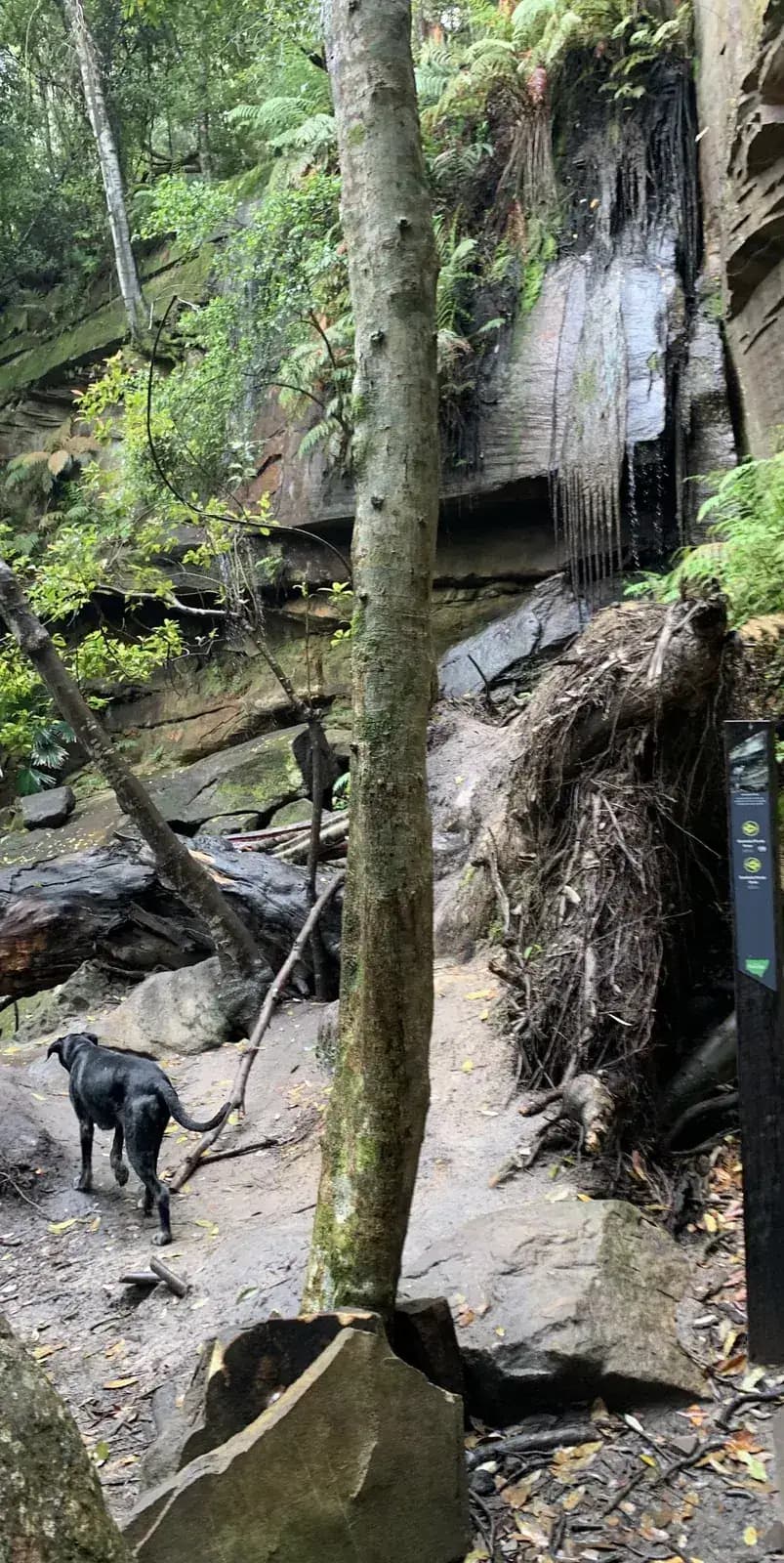
A loop through Strickland State Forest that starts from the same picnic area as the Strickland Falls walk, then heads a different way: down the Cabbage Tree Trail and back up the Stoney Creek Trail. Like the falls walk, it is at its best after rain.
Strickland State Forest is dog friendly and an off leash area.
Directions
- Start at the Strickland picnic area: -33.373489, 151.322662 (Google Maps)
- At the loop junction, head onto the Cabbage Tree Trail: -33.373653, 151.322916 (Google Maps)
- Keep going straight, staying left on the Stoney Creek Trail side of the loop: -33.375570, 151.322937 (Google Maps)
- Rejoin the Strickland Falls Trail to get back to the picnic area: -33.373214, 151.321242 (Google Maps)
Elevation
- Climb
- 70 m
- Descent
- 80 m
- Highest
- 161 m
- Lowest
- 85 m
Approximate, from a 30 m terrain model, so it can overstate the climb on cliff edge tracks.
Before you go
Tell your people where you are going
Set your route and return time in FriendsFindMe. If you do not check in, the people you trust are sent a text so they know to come looking for you.

The book
Over 100 Central Coast walks in one book
A Cornucopia of Central Coast Walks is my book of the walks on the Coast, for keeping in the car. Each walk has a map, the distance and climb, and numbered directions from the start point, with a wildflower guide at the back.
See the bookThe original walk notes and photos on Good Architect
Park and state forest boundaries: CAPAD 2024 © Commonwealth of Australia (DCCEEW), CC BY 4.0; © Forestry Corporation of NSW, CC BY 3.0 AU; © State of Queensland, CC BY 4.0; © State of Victoria (DEECA), CC BY 4.0